11.1 km | 12.3 km-effort
lintot les bois
Papy Diouf
User
Length
3.6 km
Max alt
115 m
Uphill gradient
74 m
Km-Effort
4.6 km
Min alt
71 m
Downhill gradient
74 m
Boucle
Yes
Creation date :
2021-08-16 13:29:29.93
Updated on :
2021-08-16 14:26:58.89
42m
Difficulty : Easy
FREE GPS app for hiking
About
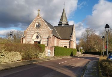
Trail Walking of 3.6 km to be discovered at Normandy, Seine-Maritime, Lintot-les-Bois. This trail is proposed by Papy Diouf.
Positioning
Country:
France
Region :
Normandy
Department/Province :
Seine-Maritime
Municipality :
Lintot-les-Bois
Location:
Unknown
Start:(Dec)
Start:(UTM)
361318 ; 5518174 (31U) N.
Comments
Trails nearby
bertreville St ouen omonville bacqueville pierreville
Walking
Very easy
Bertreville-Saint-Ouen,
Normandy,
Seine-Maritime,
France
1h 58min
Yes
dfg
Walking
Very easy
Gonneville-sur-Scie,
Normandy,
Seine-Maritime,
France
9 km | 10.1 km-effort
2h 46min
Yes
longueville 20140304
Walking
Medium
Longueville-sur-Scie,
Normandy,
Seine-Maritime,
France
12.8 km | 16 km-effort
2h 32min
Yes
Rallye touristique de Gonneville 2007 - Etape 01
Other activity
Easy
Gonneville-sur-Scie,
Normandy,
Seine-Maritime,
France
22 km | 26 km-effort
3h 0min
No
Rallye touristique Gonneville 2014 - Etape 01
Other activity
Easy
Gonneville-sur-Scie,
Normandy,
Seine-Maritime,
France
30 km | 35 km-effort
3h 0min
No
Rallye de Gonneville 2005 - 01
Other activity
Very easy
Gonneville-sur-Scie,
Normandy,
Seine-Maritime,
France
22 km | 25 km-effort
3h 0min
No
Rallye Gonneville 2006 - 01
Other activity
Easy
Gonneville-sur-Scie,
Normandy,
Seine-Maritime,
France
33 km | 37 km-effort
3h 0min
Yes
longueville 20140304
Walking
Medium
Longueville-sur-Scie,
Normandy,
Seine-Maritime,
France
9.6 km | 11.8 km-effort
2h 32min
No
Rallye Gonneville 2011 - Etape 01
Other activity
Very easy
Gonneville-sur-Scie,
Normandy,
Seine-Maritime,
France
35 km | 40 km-effort
2h 30min
No