Trail Walking Chorges - Chorges montagne du bois du Ruban - Photo

Chorges montagne du bois du Ruban

 jll7513
jll7513

User

© OpenStreetMap contributors
Length
Length
10.7 km
Max alt
Max alt
1551 m
Uphill gradient
Uphill gradient
474 m
Km-Effort
Km-Effort  
17 km
Min alt
Min alt
1088 m
Downhill gradient
Downhill gradient
473 m
Boucle
Boucle
Yes
Creation date :
2021-08-16 04:39:28.0
Updated on :
2021-08-16 19:10:17.578

(0 Reviews)

Walking
Walking
3h52
Difficulty : Medium
Nordic walking
Nordic walking
2h19
Difficulty : Medium

Scan this QR Code to open this trail in the SityTrail application

FREE GPS app for hiking

Logo SityTrail SityTrail
IGN / Geographical institutes

Download SityTrail from the App Store Download SityTrail from Google Play

Logo SityTrail SityTrail World
The world is yours!

Download SityTrail from the App Store Download SityTrail from Google Play Download SityTrail on Huawei AppGallery

About

Trail Walking of 10.7 km to be discovered at Provence-Alpes-Côte d'Azur, Hautes-Alpes, Chorges. This trail is proposed by jll7513.

Description

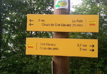
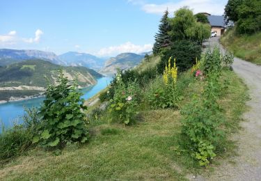
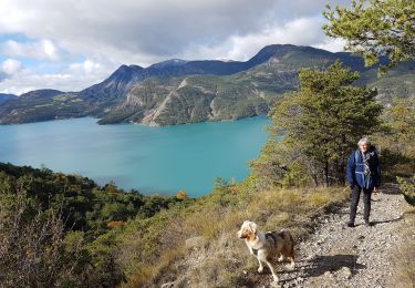
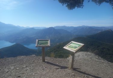
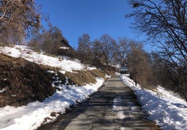
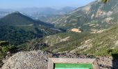
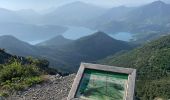
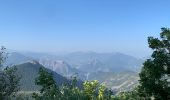
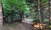
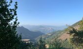
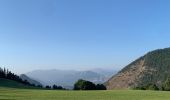
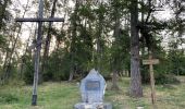
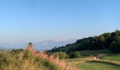
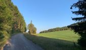
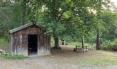
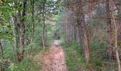
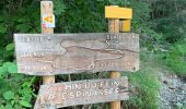
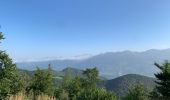
On peut se garer sur le bord de la route, la randonnée démarre du lieu de parking. Les 2 premiers kms sont assez pentus, surtout bien rester sur la rive droite du torrent. On passe à La Croix à la mémoire des combattants de la résistance. Ensuite on bascule coté lac de Serre Ponçon avec une très belle vue sur le barrage depuis le panorama du ruban avec ses 2 tables d'orientation. Un circuit bien ombragé sur des sentiers et des pistes forestières.

Elevation profile

Photos

Positioning

Country:
France
Region :
Provence-Alpes-Côte d'Azur
Department/Province :
Hautes-Alpes
Municipality :
Chorges
Location:
Unknown
Start:(Dec)
Start:(UTM)
282669 ; 4933035 (32T) N.

Trails nearby

Trail Walking Chorges - Chanteloube et lac de Serre Ponçon - Photo
Walking
gildascb

Walking

Very easy
(2)
Chorges, Provence-Alpes-Côte d'Azur, Hautes-Alpes, France
5.9 km | 8.2 km-effort
1h 47min
Yes
Trail Walking Chorges - clôt c l'avais sur fein - Photo
Walking
Didier.kiehl

Walking

Very easy
(2)
Chorges, Provence-Alpes-Côte d'Azur, Hautes-Alpes, France
8 km | 12.6 km-effort
2h 24min
Yes
Trail Walking Le Sauze-du-Lac - Embrunais - le Sauze-du-Lac Port St-Pierre - 5.1km 280m 1h45 - 2018 06 29 - public - Photo
Walking
GUIDE
Orcal37

Walking

Easy
Le Sauze-du-Lac, Provence-Alpes-Côte d'Azur, Hautes-Alpes, France
5.1 km | 8.8 km-effort
2h 10min
Yes
Trail Walking Chorges - Montagne du Ruban - Photo
Walking
BLANCHET

Walking

Easy
(2)
Chorges, Provence-Alpes-Côte d'Azur, Hautes-Alpes, France
11 km | 17.4 km-effort
3h 39min
No
Trail Walking Chorges - De-chanteloube-a-saint-michel-retour-par-le-belvedere-des-curattes - Photo
Walking
PapouBertrand

Walking

Difficult
Chorges, Provence-Alpes-Côte d'Azur, Hautes-Alpes, France
8.4 km | 12.8 km-effort
2h 55min
Yes
Trail Walking Prunières - visorando-trou-de-pancrace-serre-du-mouton-et-griffes-du-lion-rose-de-salados - Photo
Walking
PapouBertrand

Walking

Very difficult
Prunières, Provence-Alpes-Côte d'Azur, Hautes-Alpes, France
15.1 km | 28 km-effort
6h 25min
Yes
Trail Walking Le Sauze-du-Lac - Balcons du lac Taïga - Photo
Walking
GUIDE
David25400

Walking

Easy
Le Sauze-du-Lac, Provence-Alpes-Côte d'Azur, Hautes-Alpes, France
7.5 km | 11.1 km-effort
3h 12min
Yes
Trail Walking Chorges - Clôt Clavary 3.9.23 - Photo
Walking
GUIDE
fredetpascale

Walking

Easy
Chorges, Provence-Alpes-Côte d'Azur, Hautes-Alpes, France
7.1 km | 11.6 km-effort
2h 0min
Yes
Trail Horseback riding Prunières - Le pomeyret avec Ziton  - Photo
Horseback riding
GUIDE
orsel

Horseback riding

Easy
Prunières, Provence-Alpes-Côte d'Azur, Hautes-Alpes, France
6.6 km | 10 km-effort
3h 3min
Yes


Close
My subscriptions