


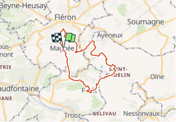


11.6 km | 16.5 km-effort

User


FREE GPS app for hiking
 SityTrail
IGN / Geographical institutes
SityTrail World
The world is yours!
Trail Walking of 13.2 km to be discovered at Wallonia, Liège, Fléron. This trail is proposed by BVB.
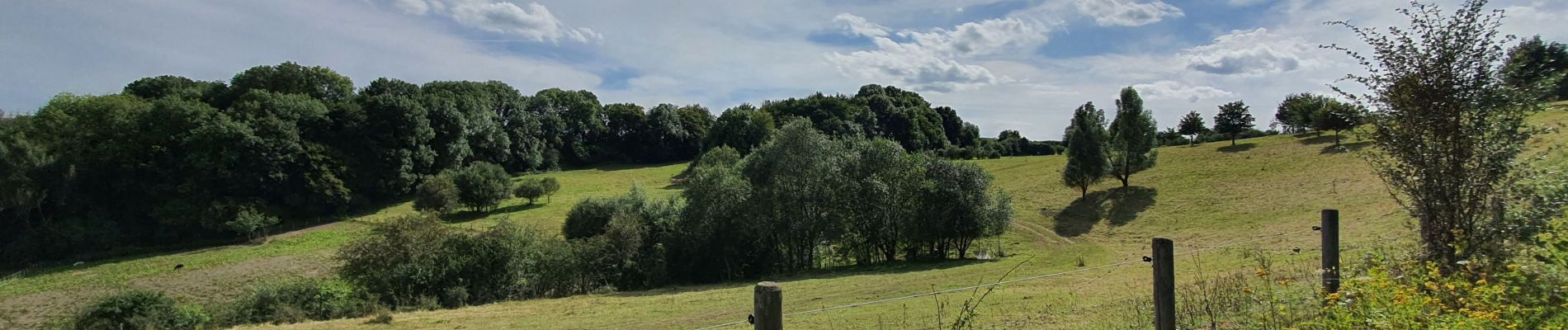
Belle promenade au départ de MAGNEE à travers champs et sous bois à faire en toutes saisons. Attention au ravinements par endroit qui peuvent s'avérer difficiles à franchir.


Walking

Walking

Walking

Walking

Walking

Walking

Walking

Walking

Walking