


13.6 km | 17 km-effort


User


FREE GPS app for hiking
 SityTrail
IGN / Geographical institutes
SityTrail World
The world is yours!
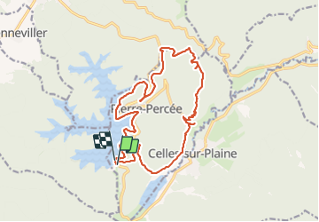
Trail Walking of 17.9 km to be discovered at Grand Est, Meurthe-et-Moselle, Pierre-Percée. This trail is proposed by Bart2015.
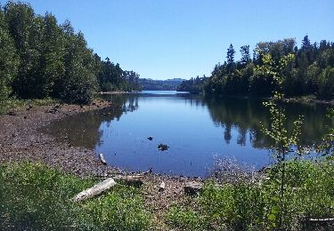
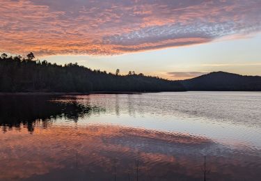
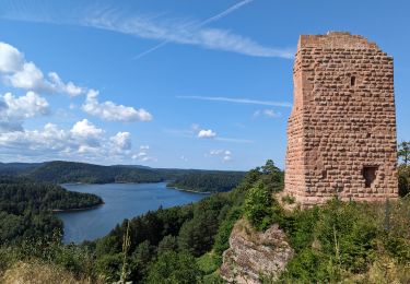
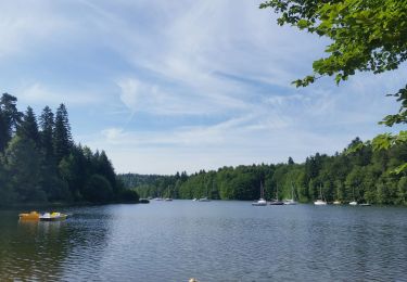
Le lac de Pierre-Percée est le troisième plus grand lac artificiel de Lorraine, avec ses 304 hectares de superficie et ses 32 kilomètres de pourtour.
Ce circuit propose une belle randonnée qui démarre par une vue partielle du Lac. Il vous fera remonter l'histoire lors du passage au château de Salm et plus récemment la guerre de 14-18 au travers des diverses grottes.
Faire un petit détour pour au panneau "Roche" pour une belle vue sur le village de Celles-sur-Plaine et son lac peu après la grotte de l'observatoire. Pourquoi pas un arrêt pique-nique ...
Bonne randonnée.


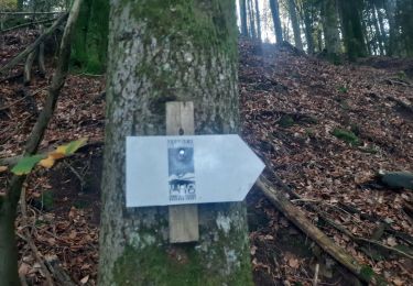
42 photos in total. Please click on a photo to see them all in the gallery.

Horseback riding
Walking
Walking
Walking
Walking

Horseback riding
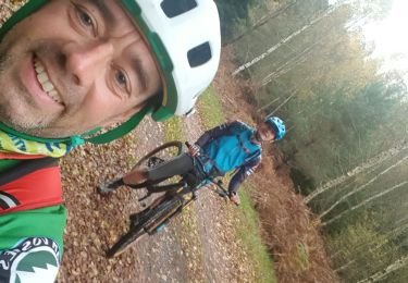
Mountain bike
Mountain bike
Mountain bike