


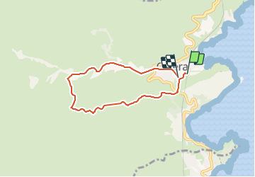

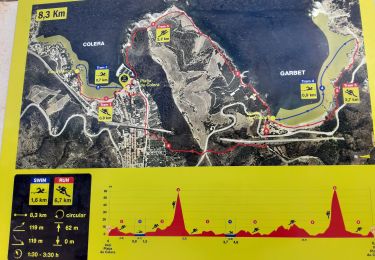
24 km | 33 km-effort


User


FREE GPS app for hiking
 SityTrail
IGN / Geographical institutes
SityTrail World
The world is yours!
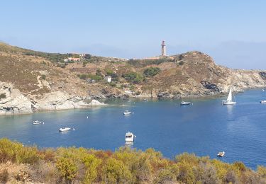
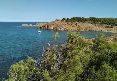
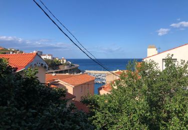
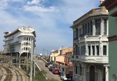
Trail Trail of 6.3 km to be discovered at Catalonia, Girona, Colera. This trail is proposed by jcberthet.
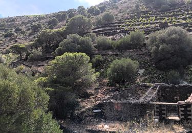
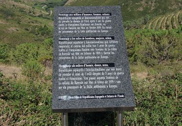
Le chemin pris a fort dénivelé sur la droite, est très abrupte et peu utilisé. De plus il est fermé par un grillage en bas, il faut bascule côté vignes avant le grillage afin de finir sur le chemin.
Walking
On foot
Walking
Walking
Walking
Walking
On foot
Walking