


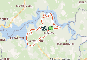

28 km | 36 km-effort


User


FREE GPS app for hiking
 SityTrail
IGN / Geographical institutes
SityTrail World
The world is yours!
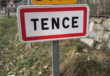
Trail Walking of 8.4 km to be discovered at Auvergne-Rhône-Alpes, Haute-Loire, Chenereilles. This trail is proposed by poneys.
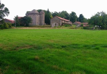
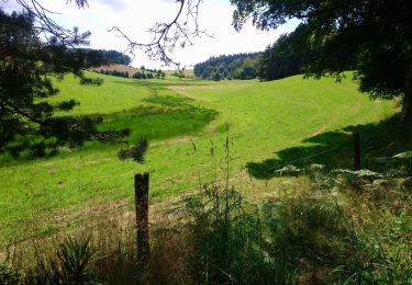
Belle balade dans les sousbois de pins, dapins, hêtres, érables autour du lac. Malheureusement pas de baignade à cause des algues.

Mountain bike
Walking
Walking

Walking
Walking
Other activity
Walking
Walking
Walking