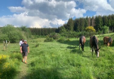
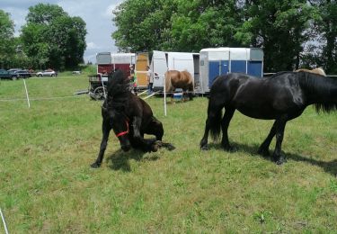
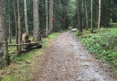
Trail Walking Monlet - lac de malaguet - Photo
 phdriot
phdriot

User

© OpenStreetMap contributors
Length
Length
7.1 km
Max alt
Max alt
1094 m
Uphill gradient
Uphill gradient
161 m
Km-Effort
Km-Effort  
9.3 km
Min alt
Min alt
1025 m
Downhill gradient
Downhill gradient
162 m
Boucle
Boucle
Yes
Creation date :
2021-08-13 12:33:38.872
Updated on :
2021-08-13 17:45:04.181

(0 Reviews)

Walking
Walking
2h02
Difficulty : Medium

Scan this QR Code to open this trail in the SityTrail application

FREE GPS app for hiking

Logo SityTrail SityTrail

IGN / Geographical institutes

Download SityTrail from the App Store Download SityTrail from Google Play

Logo SityTrail SityTrail World

The world is yours!

Download SityTrail from the App Store Download SityTrail from Google Play Download SityTrail on Huawei AppGallery

About

Trail Walking of 7.1 km to be discovered at Auvergne-Rhône-Alpes, Haute-Loire, Monlet. This trail is proposed by phdriot.

Elevation profile

Positioning

Country:
France
Region :
Auvergne-Rhône-Alpes
Department/Province :
Haute-Loire
Municipality :
Monlet
Location:
Unknown
Start:(UTM)
555953 ; 5010764 (31T) N.

Trails nearby

Trail On foot Sembadel - station météo sembadel  - Photo
On foot
boyer43

On foot

Easy
(1)
Sembadel, Auvergne-Rhône-Alpes, Haute-Loire, France
14 km | 19.4 km-effort
4h 24min
Yes
Trail Other activity Monlet - Sentier de la réserve du Lac de Malaguet - Photo
Other activity
Jean-MarieFaux

Other activity

Easy
Monlet, Auvergne-Rhône-Alpes, Haute-Loire, France
3.9 km | 5.2 km-effort
1h 24min
Yes
Trail Mountain bike Saint-Pal-de-Senouire - saint pal de senouire chaise dieu et retour - Photo
Mountain bike
philloup43

Mountain bike

Medium
Saint-Pal-de-Senouire, Auvergne-Rhône-Alpes, Haute-Loire, France
43 km | 58 km-effort
2h 54min
Yes
Trail Motorbike Félines - vtt 2 2024. - Photo
Motorbike
Cyril Cottier

Motorbike

Medium
Félines, Auvergne-Rhône-Alpes, Haute-Loire, France
25 km | 41 km-effort
4h 18min
No
Trail Coupling Allègre - cool verte Allègre  - Photo
Coupling
BONDETTI

Coupling

Easy
Allègre, Auvergne-Rhône-Alpes, Haute-Loire, France
25 km | 33 km-effort
4h 16min
No
Trail Other activity Monlet - lac Malaguet - Photo
Other activity
pmorel

Other activity

Very easy
Monlet, Auvergne-Rhône-Alpes, Haute-Loire, France
4.8 km | 6.4 km-effort
1h 9min
Yes
Trail Equestrian Connangles - Le Mas - Choupayres - Photo
Equestrian
clement63

Equestrian

Medium
Connangles, Auvergne-Rhône-Alpes, Haute-Loire, France
27 km | 35 km-effort
4h 12min
No
Trail Walking Sembadel - vulcanboy-2013-j3 - Photo
Walking
vulcanoo

Walking

Medium
Sembadel, Auvergne-Rhône-Alpes, Haute-Loire, France
27 km | 38 km-effort
7h 56min
No
Trail Other activity Félines - Champignons nouveau parcours - Photo
Other activity
Maryse34

Other activity

Very easy
Félines, Auvergne-Rhône-Alpes, Haute-Loire, France
12.7 km | 15.1 km-effort
4h 8min
No


Close
My subscriptions