


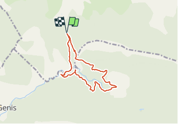


12.1 km | 21 km-effort


User


FREE GPS app for hiking
 SityTrail
IGN / Geographical institutes
SityTrail World
The world is yours!
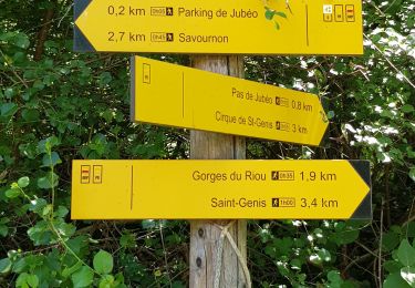
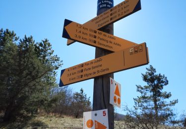
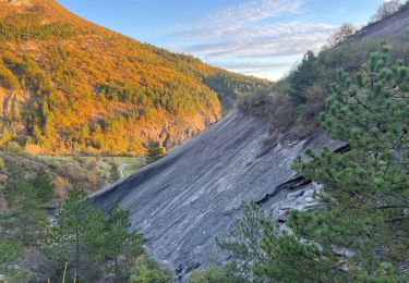
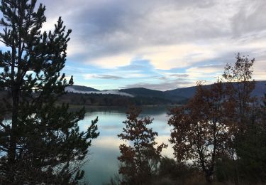
Trail Walking of 7 km to be discovered at Provence-Alpes-Côte d'Azur, Hautes-Alpes, Savournon. This trail is proposed by Thomas Leroux.
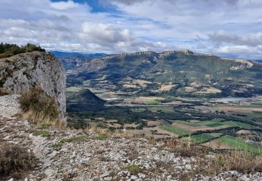
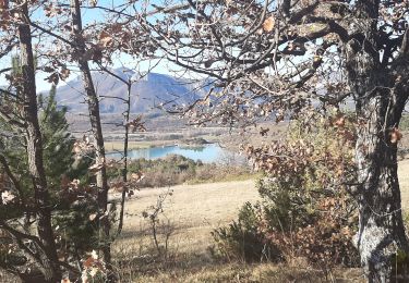
Randonnée proposée par office de tourisme de buech mais assez décevante en terme de vue.. beaucoup de km dans la forêt sans voir grand chose…
On foot
Walking

Walking
Walking
Walking
Walking

Mountain bike
Walking
Walking