

Tour de l'ile de Ste margurite

jwo47
User

Length
7.6 km

Max alt
38 m

Uphill gradient
92 m

Km-Effort
8.8 km

Min alt
-1 m

Downhill gradient
92 m
Boucle
Yes
Creation date :
2021-08-12 15:32:01.421
Updated on :
2021-08-12 15:35:55.238
2h00
Difficulty : Medium

FREE GPS app for hiking
About
Trail Walking of 7.6 km to be discovered at Provence-Alpes-Côte d'Azur, Maritime Alps, Cannes. This trail is proposed by jwo47.
Description
Très facile. Se renseigner pour les horaires des navettes avec les départs de Cannes. A éviter si vous recherchez le calme du 15 juin au 15 septembre.
Positioning
Country:
France
Region :
Provence-Alpes-Côte d'Azur
Department/Province :
Maritime Alps
Municipality :
Cannes
Location:
Unknown
Start:(Dec)
Start:(UTM)
341520 ; 4820646 (32T) N.
Comments
Trails nearby
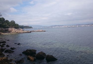
Île Sainte Marguerite


Walking
Very easy
(2)
Cannes,
Provence-Alpes-Côte d'Azur,
Maritime Alps,
France

9 km | 10.5 km-effort
2h 7min
Yes
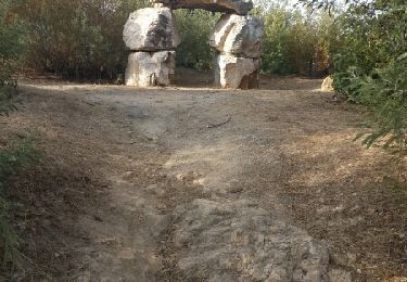
st michel to funicular


Cycle
Very easy
(1)
Cannes,
Provence-Alpes-Côte d'Azur,
Maritime Alps,
France

5.3 km | 7.3 km-effort
33min
Yes
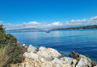
z St honorat 07-05-24


Walking
Easy
Cannes,
Provence-Alpes-Côte d'Azur,
Maritime Alps,
France

3.9 km | 4.3 km-effort
3h 29min
Yes
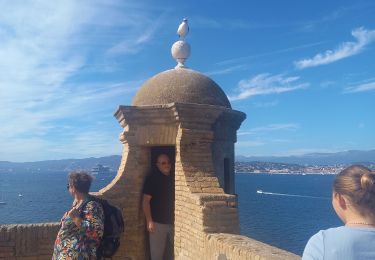
Ile Ste Marguerite 2/10/22


Walking
Easy
Cannes,
Provence-Alpes-Côte d'Azur,
Maritime Alps,
France

10.6 km | 12.7 km-effort
2h 50min
Yes

z l'île ste marguerite 08-09-20


Walking
Very easy
Cannes,
Provence-Alpes-Côte d'Azur,
Maritime Alps,
France

7.4 km | 8.6 km-effort
2h 1min
Yes

Golfe-Juan Antibes gare à gare


Walking
Easy
(1)
Vallauris,
Provence-Alpes-Côte d'Azur,
Maritime Alps,
France

10.2 km | 12.2 km-effort
2h 32min
No

tour de l'ile sainte-marguerite


Walking
Easy
(1)
Cannes,
Provence-Alpes-Côte d'Azur,
Maritime Alps,
France

7.6 km | 8.9 km-effort
2h 0min
Yes
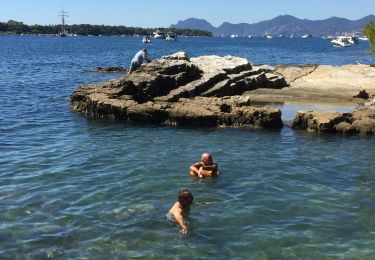
Île Sainte Marguerite


Walking
(1)
Cannes,
Provence-Alpes-Côte d'Azur,
Maritime Alps,
France

9.9 km | 11.7 km-effort
5h 25min
Yes

iles de Lerins


Walking
Very easy
(1)
Cannes,
Provence-Alpes-Côte d'Azur,
Maritime Alps,
France

10 km | 11.9 km-effort
5h 27min
Yes


 SityTrail


