


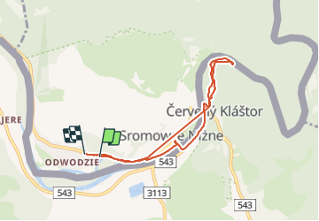

9.4 km | 14.3 km-effort


User


FREE GPS app for hiking
 SityTrail
IGN / Geographical institutes
SityTrail World
The world is yours!
Trail Walking of 6.4 km to be discovered at Lesser Poland Voivodeship, Nowy Targ County, Sromowce Niżne. This trail is proposed by Alain CHARRAS.
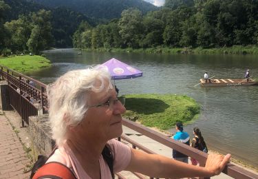
Balade vespérale
Hybrid bike