22 km | 29 km-effort
source du doubs mouthe
thierry2fraimbois
User
Length
23 km
Max alt
1152 m
Uphill gradient
606 m
Km-Effort
31 km
Min alt
931 m
Downhill gradient
607 m
Boucle
Yes
Creation date :
2021-08-12 07:12:58.205
Updated on :
2021-08-12 07:13:00.638
4h07
Difficulty : Medium
FREE GPS app for hiking
About
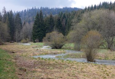
Trail Horseback riding of 23 km to be discovered at Bourgogne-Franche-Comté, Jura, Cerniébaud. This trail is proposed by thierry2fraimbois.
Positioning
Country:
France
Region :
Bourgogne-Franche-Comté
Department/Province :
Jura
Municipality :
Cerniébaud
Location:
Unknown
Start:(Dec)
Start:(UTM)
279671 ; 5179679 (32T) N.
Comments
Trails nearby
Haut Jura - Longcochon - Cerniébaud
Equestrian
Difficult
(1)
Longcochon,
Bourgogne-Franche-Comté,
Jura,
France
3h 0min
No
Les Roches
On foot
Easy
Mouthe,
Bourgogne-Franche-Comté,
Doubs,
France
4.2 km | 6.1 km-effort
1h 23min
Yes
Cerniébaud 24 sept 2020 CAF
Walking
Difficult
Fraroz,
Bourgogne-Franche-Comté,
Jura,
France
21 km | 29 km-effort
6h 9min
Yes
Chalet Haute Joux
Snowshoes
Medium
Cerniébaud,
Bourgogne-Franche-Comté,
Jura,
France
20 km | 25 km-effort
5h 42min
Yes
Cerniébaud - Combe Simon
Snowshoes
Medium
Cerniébaud,
Bourgogne-Franche-Comté,
Jura,
France
8.7 km | 11.7 km-effort
2h 52min
Yes
vendredi jura
Snowshoes
Medium
Cerniébaud,
Bourgogne-Franche-Comté,
Jura,
France
11.4 km | 15.6 km-effort
3h 43min
No
rando raquette haut joux
Snowshoes
Medium
Fraroz,
Bourgogne-Franche-Comté,
Jura,
France
9.9 km | 12.6 km-effort
3h 8min
No
GTJ Etape 14 : Arsure-Arsurette Foncine le Haut
Walking
Medium
Arsure-Arsurette,
Bourgogne-Franche-Comté,
Jura,
France
15.8 km | 22 km-effort
5h 13min
No
Petite Chaux
Walking
Very easy
Mouthe,
Bourgogne-Franche-Comté,
Doubs,
France
19.7 km | 26 km-effort
5h 31min
No