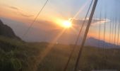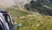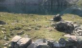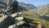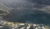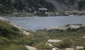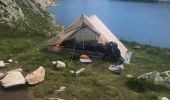

Sept laux Lac blanc Col du buisson

yann07
User

Length
29 km

Max alt
2575 m

Uphill gradient
2231 m

Km-Effort
59 km

Min alt
1556 m

Downhill gradient
2233 m
Boucle
Yes
Creation date :
2021-08-11 20:14:13.947
Updated on :
2021-08-11 20:22:00.298
13h19
Difficulty : Very difficult

FREE GPS app for hiking
About
Trail On foot of 29 km to be discovered at Auvergne-Rhône-Alpes, Isère, Theys. This trail is proposed by yann07.
Description
Sur 2 ou 3 jours 1er Bivouac au lac blanc 6 heures
2 eme jour 9 h
Variante le 2 eme bivouac peut être au sommet des sept Laux restera 2h30 heures pour redescendre
Positioning
Country:
France
Region :
Auvergne-Rhône-Alpes
Department/Province :
Isère
Municipality :
Theys
Location:
Unknown
Start:(Dec)
Start:(UTM)
265836 ; 5016829 (32T) N.
Comments
Trails nearby
les 7 laux


Walking
Medium
(1)
Les Adrets,
Auvergne-Rhône-Alpes,
Isère,
France

12.4 km | 21 km-effort
4h 23min
Yes
Combe du Prat


Walking
Medium
Le Haut-Bréda,
Auvergne-Rhône-Alpes,
Isère,
France

9.5 km | 16.7 km-effort
3h 18min
Yes
Belle Etoile et Pic des Cabottes couloir S


Touring skiing
Very difficult
Le Haut-Bréda,
Auvergne-Rhône-Alpes,
Isère,
France

15.7 km | 38 km-effort
8h 4min
Yes
le jas de lièvre et vol de Bédina


Touring skiing
Difficult
Les Adrets,
Auvergne-Rhône-Alpes,
Isère,
France

12.6 km | 30 km-effort
7h 10min
Yes
col du Rafour et couloir ouest de la montagne de Barlet


Touring skiing
Difficult
Laval-en-Belledonne,
Auvergne-Rhône-Alpes,
Isère,
France

10.9 km | 26 km-effort
6h 29min
No
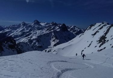
la dent du Pra par le col de l'Aigleton


Touring skiing
Difficult
Laval-en-Belledonne,
Auvergne-Rhône-Alpes,
Isère,
France

12.7 km | 31 km-effort
7h 34min
Yes
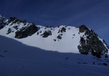
couloir Est du sifflet et pas du pin par couloir ouest


Touring skiing
Difficult
Laval-en-Belledonne,
Auvergne-Rhône-Alpes,
Isère,
France

13.2 km | 31 km-effort
8h 22min
Yes

Autour du crêt de Chazay


Mountain bike
Medium
(1)
Theys,
Auvergne-Rhône-Alpes,
Isère,
France

15.7 km | 23 km-effort
2h 30min
Yes
Les lacs sept Claux


Walking
Difficult
Le Haut-Bréda,
Auvergne-Rhône-Alpes,
Isère,
France

12.8 km | 27 km-effort
6h 56min
Yes


 SityTrail


