


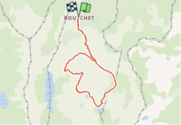

5.8 km | 10.3 km-effort

User


FREE GPS app for hiking
 SityTrail
IGN / Geographical institutes
SityTrail World
The world is yours!
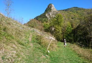
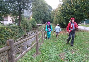
Trail Walking of 19.1 km to be discovered at Occitania, Ariège, Siguer. This trail is proposed by bellouelo46.
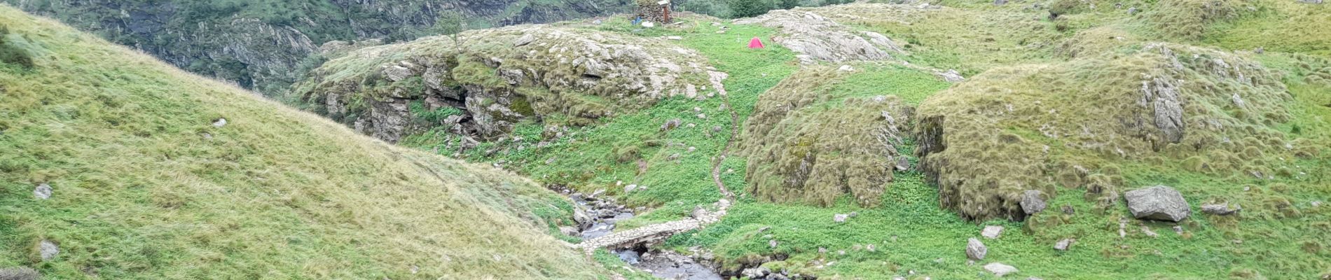
belle randonnée assez exigeante mais sympa après le lac des redouneilles sur le haut sentier pas évident sans gps mais sinon pas de difficulté mis a part le dénivelé


On foot

Walking

Walking
Walking

Walking
Walking
Walking

Walking

Walking