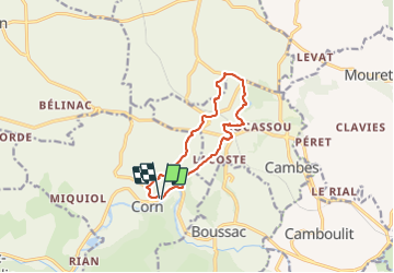

11.7 km | 16.3 km-effort


User


FREE GPS app for hiking
 SityTrail
IGN / Geographical institutes
SityTrail World
The world is yours!
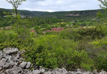
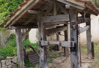
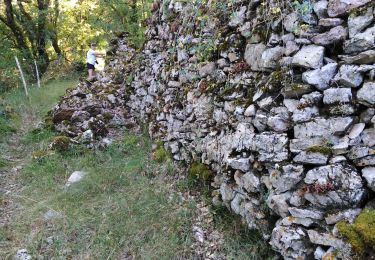
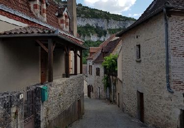
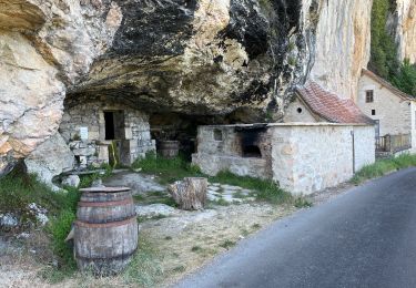
Trail Walking of 10.6 km to be discovered at Occitania, Lot, Corn. This trail is proposed by sebcar.
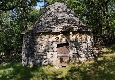
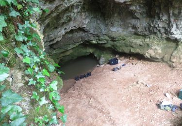
Franchir la faille géologique entre le Causse et la Limargue. Traverser les anciennes carrières d'argile de Puy blanc, lieu de fabrication de la célèbre tuile.
Walking
Walking
Walking
Walking
Walking

sport

Walking