


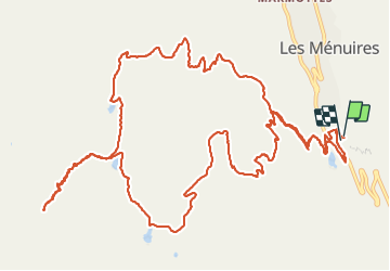

6.2 km | 8.6 km-effort


User


FREE GPS app for hiking
 SityTrail
IGN / Geographical institutes
SityTrail World
The world is yours!
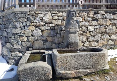
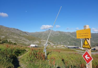
Trail Walking of 18.7 km to be discovered at Auvergne-Rhône-Alpes, Savoy, Les Belleville. This trail is proposed by myjackotte.
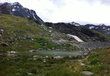
pb de timing à la descente apres le lac noir, il était indiqué 3h45 pour le lac du loup, donc pas le temps pour nous. dommage la vallée est superbe
Walking
Walking
Walking

Walking
Walking

Walking

Walking
Walking

Walking