


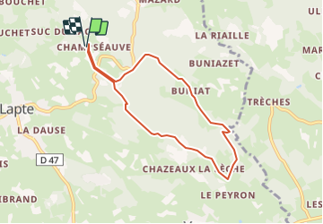

28 km | 36 km-effort


User


FREE GPS app for hiking
 SityTrail
IGN / Geographical institutes
SityTrail World
The world is yours!
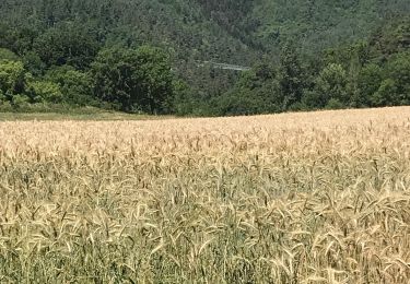
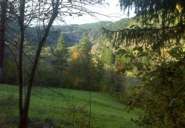
Trail Walking of 7.4 km to be discovered at Auvergne-Rhône-Alpes, Haute-Loire, Lapte. This trail is proposed by poneys.
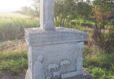
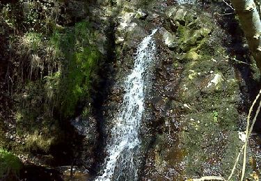
Tres joli et ombragé. Sentier introuvable pour traverser le ruisseau de Buniat- continuer alors sur le sentier qui continue vers l'Est ? Nous on a traverser hors carte le ruisseau et rejoint sentier de l'autre côté.
Mountain bike
Walking
Walking
Walking
Walking
Walking
Walking
Walking
Walking