


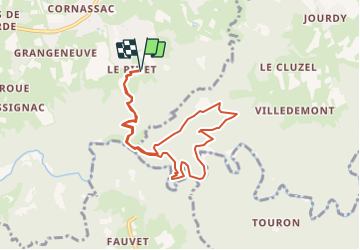

14.9 km | 20 km-effort


User


FREE GPS app for hiking
 SityTrail
IGN / Geographical institutes
SityTrail World
The world is yours!
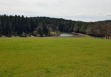
Trail Walking of 8.6 km to be discovered at Auvergne-Rhône-Alpes, Haute-Loire, Sainte-Sigolène. This trail is proposed by poneys.
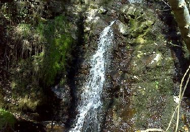
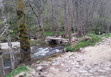
Belle rando avec beaucoup de dénivelé jusqu'à la chapelle St Julien, picnic. Puis descente sur un sentier "hors carte" pour longer la tres belle petite rivière la Dunière.

Mountain bike

Walking
Walking
Walking
Walking
Walking

Walking
Walking
Walking