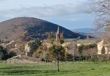
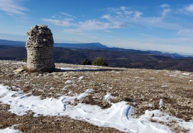
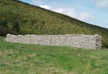
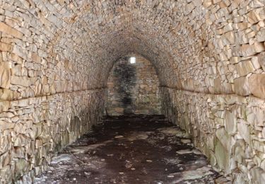
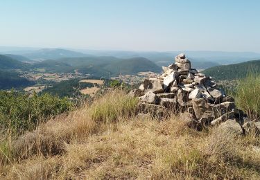
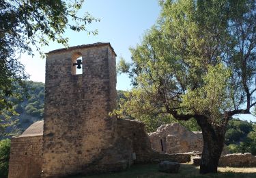
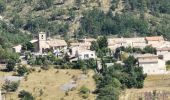
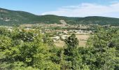
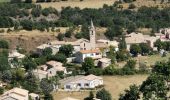
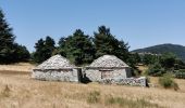
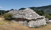
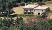
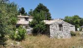
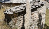
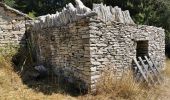
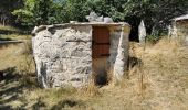
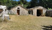
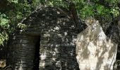
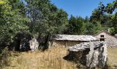
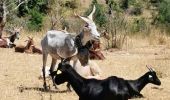
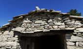
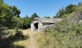
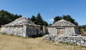
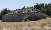
Trail Walking Saumane - Bergeries du Contras depuis Saumane - Photo
© OpenStreetMap contributors
Length
Length
12.1 km
Max alt
Max alt
1248 m
Uphill gradient
Uphill gradient
471 m
Km-Effort
Km-Effort  
18.3 km
Min alt
Min alt
879 m
Downhill gradient
Downhill gradient
473 m
Boucle
Boucle
Yes
Creation date :
2021-08-08 08:38:24.738
Updated on :
2021-08-12 06:20:45.314

(2 Reviews)

Walking
Walking
3h23
Difficulty : Medium

Scan this QR Code to open this trail in the SityTrail application

FREE GPS app for hiking

Logo SityTrail SityTrail
IGN / Geographical institutes

Download SityTrail from the App Store Download SityTrail from Google Play

Logo SityTrail SityTrail World
The world is yours!

Download SityTrail from the App Store Download SityTrail from Google Play Download SityTrail on Huawei AppGallery

About

Trail Walking of 12.1 km to be discovered at Provence-Alpes-Côte d'Azur, Alpes-de-Haute-Provence, Saumane. This trail is proposed by Daniel.BRUN-PICARD.

Description

Très belle randonnée. La descente par un sentier ombragé est longue et assez raide. Attention, les troupeaux sont gardés par des patous très impressionnants. Il ne faut surtout pas paniquer, ni élever la voix, ni les menacer avec vos bâtons. Arrêtez-vous, laissez les vous renifler et repartez lentement, il vous suivront sur quelques dizaines de mètres puis vous regarderons vous éloigner et aboieront une dernière fois, comme pour vous saluer !

Elevation profile

Photos

Positioning

Country:
France
Region :
Provence-Alpes-Côte d'Azur
Department/Province :
Alpes-de-Haute-Provence
Municipality :
Saumane
Location:
Unknown
Start:(UTM)
715199 ; 4885581 (31T) N.

Comments

Please log in to post a review or rate the element


Certains passages difficiles (terre et cailloux complètement retournés sur une partie de l’aller, hautes herbes par endroits, zones de pâturage des moutons…) mais très belle randonnée ! Superbe point de vue en haut et très belles bergeries !


très belle randonnée


Trails nearby

Trail Walking Lardiers - lardiers. du grand chêne à la bergerie  inconnue - Photo
Walking
Roger

Walking

Medium
Lardiers, Provence-Alpes-Côte d'Azur, Alpes-de-Haute-Provence, France
10.1 km | 15.9 km-effort
4h 2min
Yes
Trail Walking La Rochegiron - larochegiron.fon martine - Photo
Walking
Roger

Walking

Medium
La Rochegiron, Provence-Alpes-Côte d'Azur, Alpes-de-Haute-Provence, France
8.7 km | 12.6 km-effort
3h 51min
Yes
Trail Walking L'Hospitalet - les bergeries de saumane.  1 - Photo
Walking
Roger

Walking

Difficult
L'Hospitalet, Provence-Alpes-Côte d'Azur, Alpes-de-Haute-Provence, France
11.7 km | 16.8 km-effort
4h 27min
Yes
Trail Walking L'Hospitalet - saumane . les girons,  clos guilhen,  foureynard,  la tour  - Photo
Walking
Roger

Walking

Medium
L'Hospitalet, Provence-Alpes-Côte d'Azur, Alpes-de-Haute-Provence, France
10.4 km | 14.8 km-effort
3h 54min
Yes
Trail Walking La Rochegiron - la rochegiron 04.fon Martine, la blanchere, veire - Photo
Walking
Roger

Walking

Medium
La Rochegiron, Provence-Alpes-Côte d'Azur, Alpes-de-Haute-Provence, France
8.7 km | 12.4 km-effort
2h 52min
Yes
Trail Walking L'Hospitalet - l hospitalet. les anglais.la plus haute grange.la bergerie sans nom  - Photo
Walking
Roger

Walking

Easy
L'Hospitalet, Provence-Alpes-Côte d'Azur, Alpes-de-Haute-Provence, France
5.6 km | 8.4 km-effort
2h 6min
Yes
Trail Walking Saumane - saumane.le chant de l amant - Photo
Walking
Roger

Walking

Easy
Saumane, Provence-Alpes-Côte d'Azur, Alpes-de-Haute-Provence, France
6.4 km | 8.8 km-effort
2h 25min
Yes
Trail Walking La Rochegiron - la rochegiron. vievre. la blanchete - Photo
Walking
Roger

Walking

Medium
La Rochegiron, Provence-Alpes-Côte d'Azur, Alpes-de-Haute-Provence, France
10.1 km | 14.3 km-effort
3h 44min
Yes
Trail Walking Saumane - saumane Treboux 20kms 920m - Photo
Walking
GUIDE
Danielba

Walking

Very difficult
Saumane, Provence-Alpes-Côte d'Azur, Alpes-de-Haute-Provence, France
20 km | 32 km-effort
7h 39min
Yes


Close
My subscriptions