


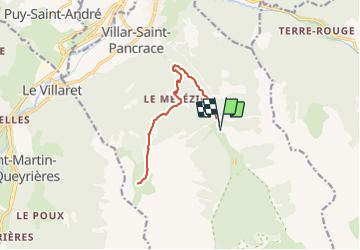

11.7 km | 19.7 km-effort


User


FREE GPS app for hiking
 SityTrail
IGN / Geographical institutes
SityTrail World
The world is yours!
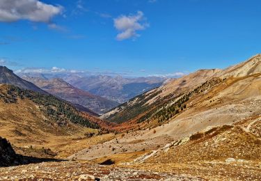
Trail Walking of 13.9 km to be discovered at Provence-Alpes-Côte d'Azur, Hautes-Alpes, Villar-Saint-Pancrace. This trail is proposed by jpb83.
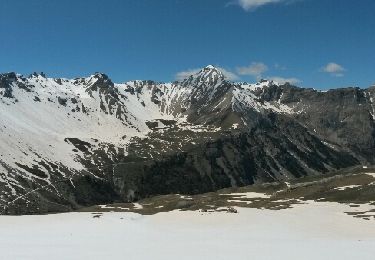
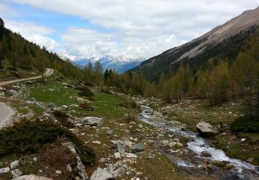
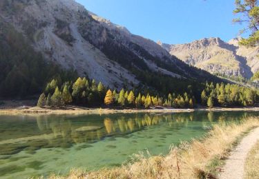
Un agréable parcours dans les mélèzes qui longe une partie d'un ancien canal d'irrigation et vous guide vers le lac du plan vallon dans son écrin minéral.

Walking
Trail
Running

Walking
Other activity
Walking

Walking
Walking
Walking