


13.8 km | 27 km-effort

User


FREE GPS app for hiking
 SityTrail
IGN / Geographical institutes
SityTrail World
The world is yours!
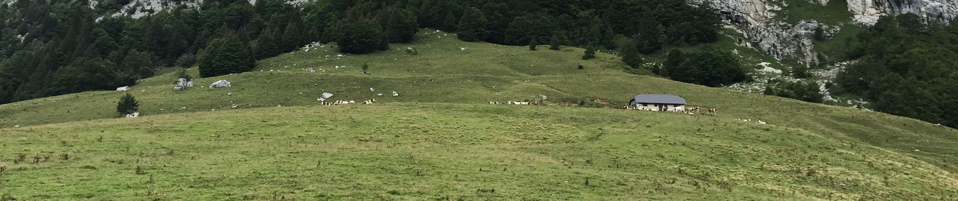
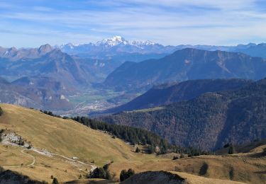
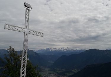
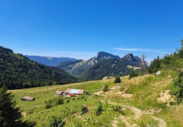
Trail Walking of 9.9 km to be discovered at Auvergne-Rhône-Alpes, Savoy, Bellecombe-en-Bauges. This trail is proposed by dchauprade.
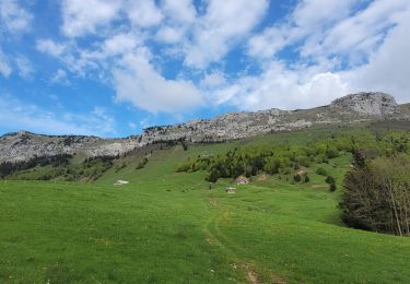
Parking face à la route du mont derrière , aller vers mont Devant suivre le chemin puis le route vers le Reposoir
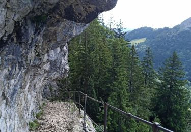
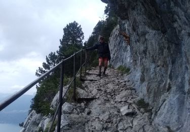
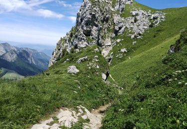
Chemin bien balisé


Walking
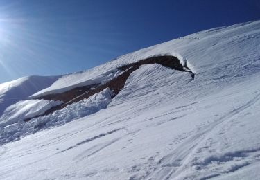
Touring skiing
Walking

Walking
Walking
Walking
Walking
Walking
Walking