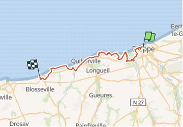

11.7 km | 15.1 km-effort


User


FREE GPS app for hiking
 SityTrail
IGN / Geographical institutes
SityTrail World
The world is yours!
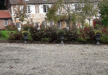
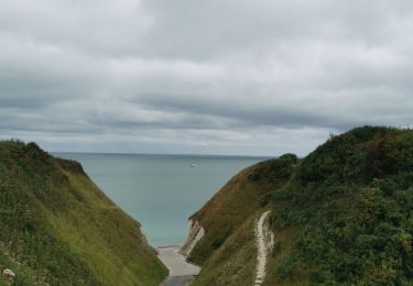
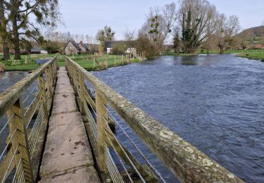
Trail Walking of 36 km to be discovered at Normandy, Seine-Maritime, Dieppe. This trail is proposed by LauRando.
par GR21
possibilité de raccourcir par la plage à marée basse entre Dieppe et Pourville sur mer (-5km) ou/et entre la plage de Pourville sur mer et la plage du petit Ailly (-2km)

Walking
Walking
On foot
Walking
Walking
Walking
Electric bike
Walking