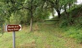
Trail Walking Buno-Bonnevaux - Buneau-Bonnevaux Menhir de la pierre droite  - Photo

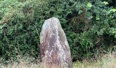
Buneau-Bonnevaux Menhir de la pierre droite

 jll7513
jll7513

User

© OpenStreetMap contributors
Length
Length
12.2 km
Max alt
Max alt
122 m
Uphill gradient
Uphill gradient
126 m
Km-Effort
Km-Effort  
13.9 km
Min alt
Min alt
66 m
Downhill gradient
Downhill gradient
125 m
Boucle
Boucle
Yes
Creation date :
2021-08-05 05:02:56.0
Updated on :
2021-08-06 17:54:14.133

(0 Reviews)

Walking
Walking
3h09
Difficulty : Easy
Nordic walking
Nordic walking
2h23
Difficulty : Easy

Scan this QR Code to open this trail in the SityTrail application

FREE GPS app for hiking

Logo SityTrail SityTrail
IGN / Geographical institutes

Download SityTrail from the App Store Download SityTrail from Google Play

Logo SityTrail SityTrail World
The world is yours!

Download SityTrail from the App Store Download SityTrail from Google Play Download SityTrail on Huawei AppGallery

About

Trail Walking of 12.2 km to be discovered at Ile-de-France, Essonne, Buno-Bonnevaux. This trail is proposed by jll7513.

Description

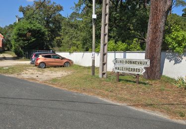
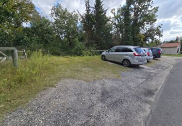
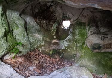
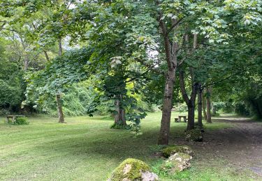
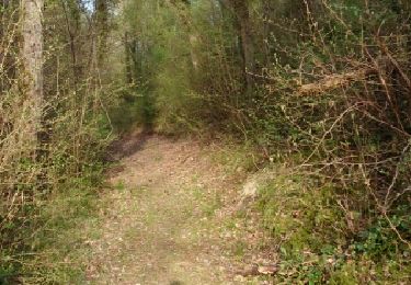
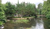
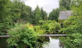
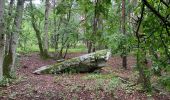
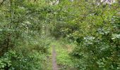
On se garre sur le parking sous l'église. La randonnée commence là. On ne peut pas voir les étangs qui sont dans des propriétés privées. Il y a un peu de route à faire au début. Puis on est en sentiers Forestiers et ensuite dans les champs. Deux para moteur qui évoluaient m'on distrait de la monotonie du paysage des champs. On marche en partie sur le GR1 et même sur un chemin de Compostelle. Le menhir est juste avant l'arrivée. Attention il ne fait que 1,50 m de haut (lol). Ne pas manquer dans Buno Bonnevaux la vue magnifique aussi bien à droite qu'à gauche sur l'Essonne.

Elevation profile

Photos

Positioning

Country:
France
Region :
Ile-de-France
Department/Province :
Essonne
Municipality :
Buno-Bonnevaux
Location:
Unknown
Start:(Dec)
Start:(UTM)
454668 ; 5356496 (31U) N.

Trails nearby

Trail Walking Buno-Bonnevaux - Buno-Bonneveaux - Polissoir de Grimery - Photo
Walking
guydu41

Walking

Medium
Buno-Bonnevaux, Ile-de-France, Essonne, France
7.5 km | 8.9 km-effort
2h 0min
Yes
Trail Walking Maisse - Maisse - Forêt communale de Milly-la-Forêt - Photo
Walking
guydu41

Walking

Medium
Maisse, Ile-de-France, Essonne, France
8.6 km | 10.6 km-effort
2h 23min
Yes
Trail Walking Buno-Bonnevaux - Buno-Bonnevaux - Photo
Walking
guydu41

Walking

Medium
Buno-Bonnevaux, Ile-de-France, Essonne, France
7.7 km | 9.7 km-effort
2h 11min
Yes
Trail Walking Maisse - De Maisse à La Fertè Alais via Boutigny - Photo
Walking
philippebenne

Walking

Difficult
(1)
Maisse, Ile-de-France, Essonne, France
24 km | 29 km-effort
6h 33min
No
Trail sport Buno-Bonnevaux - Sob 2 buno briarres - Photo
sport
Glurps

sport

Very easy
Buno-Bonnevaux, Ile-de-France, Essonne, France
28 km | 33 km-effort
Unknown
No
Trail Walking Buno-Bonnevaux - buno bonneveau - Photo
Walking
BrassensJC

Walking

Very easy
Buno-Bonnevaux, Ile-de-France, Essonne, France
3.4 km | 4.2 km-effort
58min
Yes
Trail Walking Buno-Bonnevaux - Buno Bonnevaux 2024 - Photo
Walking
JacquesMARQUET

Walking

Medium
Buno-Bonnevaux, Ile-de-France, Essonne, France
10.5 km | 11.8 km-effort
2h 41min
Yes
Trail Mountain bike Prunay-sur-Essonne - VTT 25 juin 2024 - Photo
Mountain bike
poozix

Mountain bike

Easy
Prunay-sur-Essonne, Ile-de-France, Essonne, France
13 km | 14.3 km-effort
1h 32min
Yes
Trail Canoe - kayak Prunay-sur-Essonne - 16 jun 2024 - Photo
Canoe - kayak
poozix

Canoe - kayak

Very easy
Prunay-sur-Essonne, Ile-de-France, Essonne, France
10.9 km | 12.1 km-effort
51min
Yes


Close
My subscriptions