


58 km | 74 km-effort


User


FREE GPS app for hiking
 SityTrail
IGN / Geographical institutes
SityTrail World
The world is yours!
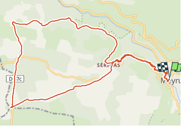
Trail Walking of 15.2 km to be discovered at Occitania, Lozère, Meyrueis. This trail is proposed by Bart2015.
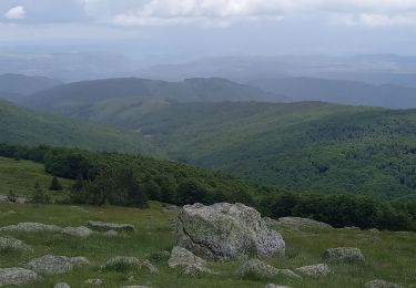
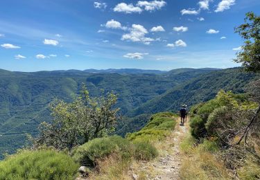
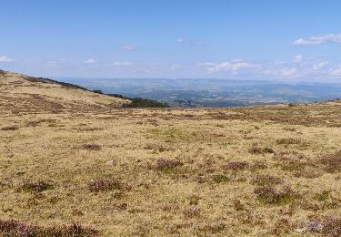
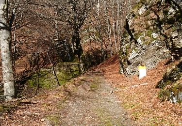
Belle randonnée dans les Gorges de la Jonte : beaucoup de fleurs et de papillons à découvrir le long du sentier. Les gorges sont hélas souvent masquées par la végétation. Possibilité d'aller à la grotte de Dargilan en suivant la route (non fait dans cette rando).
Autre curiosité du coin : après la randonnée, pourquoi ne pas aller visiter la brasserie de la Bière de la Jonte au village de Gatuzières (vers 17h à vérifier).
Bonne rando ...


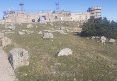
30 photos in total. Please click on a photo to see them all in the gallery.

Road bike
Walking

On foot
Walking

Mountain bike

Walking
Walking
a faire