


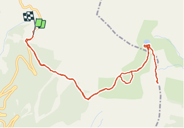

11.7 km | 19.7 km-effort

User


FREE GPS app for hiking
 SityTrail
IGN / Geographical institutes
SityTrail World
The world is yours!
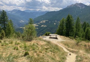
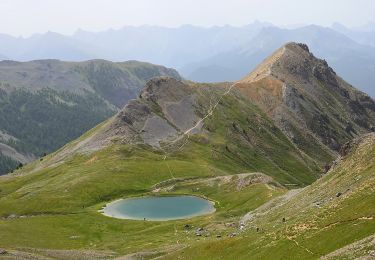
Trail Walking of 7.1 km to be discovered at Provence-Alpes-Côte d'Azur, Hautes-Alpes, Arvieux. This trail is proposed by Dervalmarc.
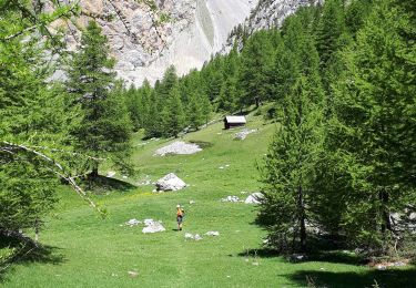
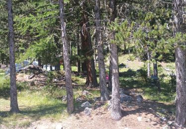
Ballade familiale par excellence.
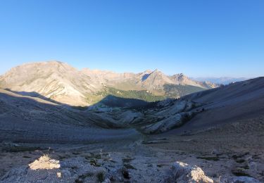
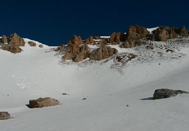
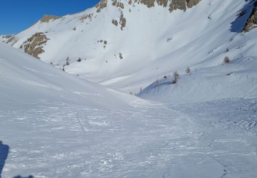
Le détour par la Crête de Tronchet vaut le panorama sur l'ensemble des sommets du Queyras.
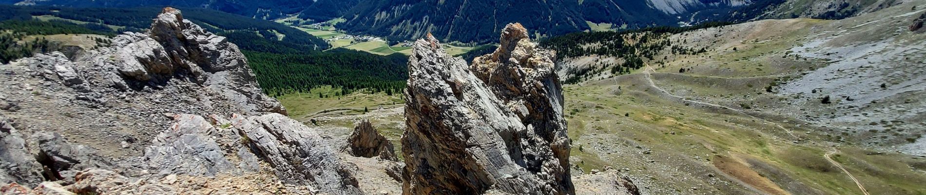
Époustouflant.


Walking
Via ferrata
Walking
Other activity

Other activity
Walking
Snowshoes
Walking
Walking