


25 km | 30 km-effort


User


FREE GPS app for hiking
 SityTrail
IGN / Geographical institutes
SityTrail World
The world is yours!
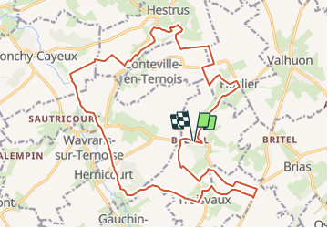
Trail On foot of 22 km to be discovered at Hauts-de-France, Pas-de-Calais, Troisvaux. This trail is proposed by eaea7charles.
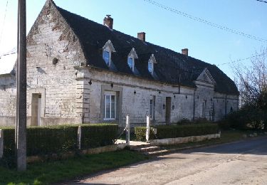
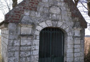
Boucle de 22 km au départ de l'ancienne abbaye de Belval, vers Huclier, Conteville en ternois, Wavrans sur ternoise et Troisvaux
Walking
Walking

Walking
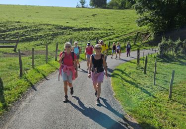
Walking
Walking


Other activity
Walking


sport