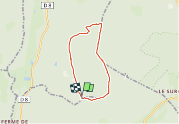

11.3 km | 16.2 km-effort


User


FREE GPS app for hiking
 SityTrail
IGN / Geographical institutes
SityTrail World
The world is yours!
Trail Walking of 5.7 km to be discovered at Grand Est, Vosges, Gerbépal. This trail is proposed by surceneux.
RF DU PLANEAU CROIX HANZO RF HTS DES FRETS RF DU PRE PT JEAN

Walking

Walking

Walking

Walking

Walking

Walking
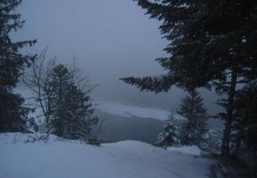
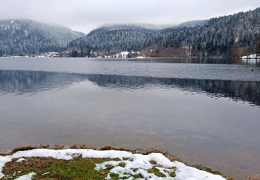
Snowshoes
Walking