


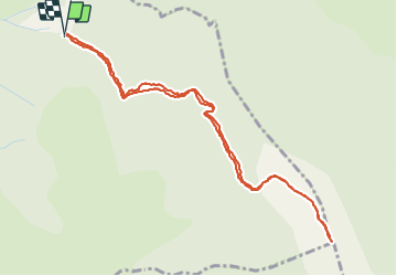

8.9 km | 14.1 km-effort


User


FREE GPS app for hiking
 SityTrail
IGN / Geographical institutes
SityTrail World
The world is yours!
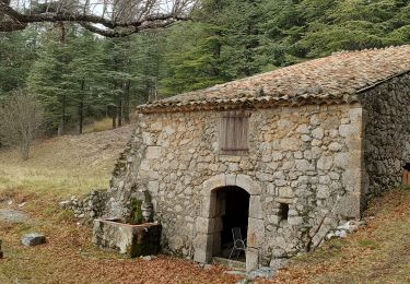
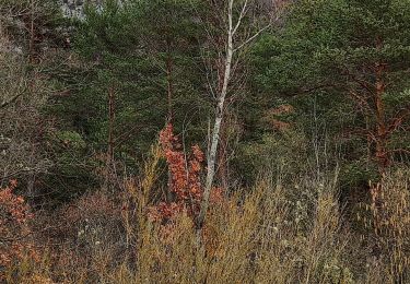
Trail Walking of 5.5 km to be discovered at Provence-Alpes-Côte d'Azur, Alpes-de-Haute-Provence, Saint-Jurs. This trail is proposed by Migueldefrance.
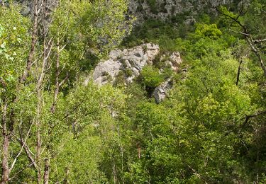
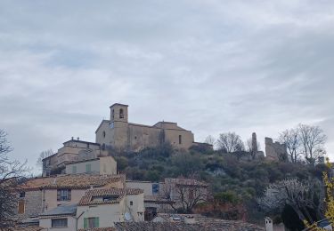
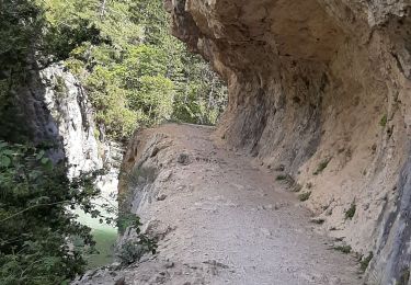
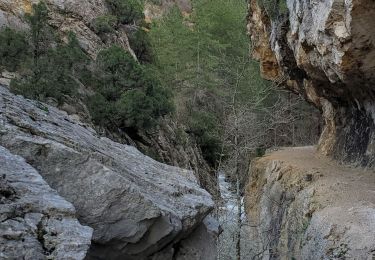
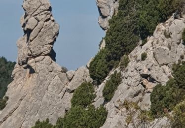
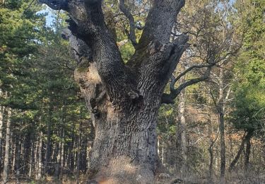
Assez courte balade très belle. Vue superbe de la crête. La piste d'accès, depuis St Jurs est très longue (6 km) et en mauvais état.
Walking
Walking
Walking
Walking
Walking
Walking
Walking
Walking
Walking