


13.3 km | 16.6 km-effort


User


FREE GPS app for hiking
 SityTrail
IGN / Geographical institutes
SityTrail World
The world is yours!
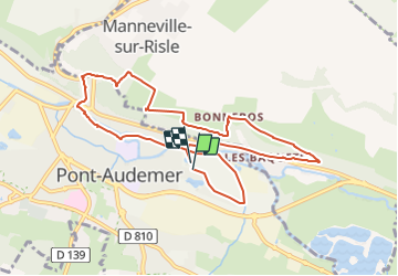
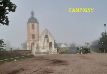
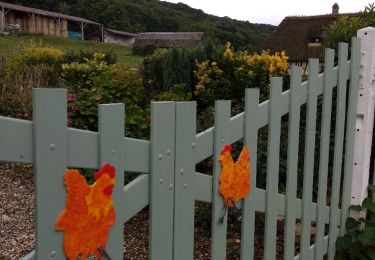
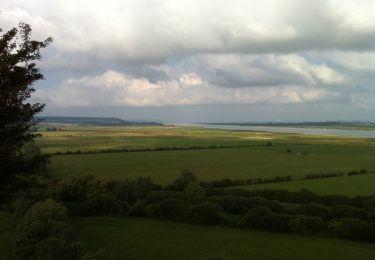
Trail On foot of 9.5 km to be discovered at Normandy, Eure, Pont-Audemer. This trail is proposed by Marie-Claire-mcp.
Départ parking de la piscine à Pont Audemer

Walking
Walking

Walking

Mountain bike
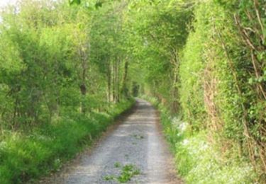
Walking
Walking
Walking
Walking