Campestre
LBarel
User
Length
7.3 km
Max alt
780 m
Uphill gradient
106 m
Km-Effort
8.7 km
Min alt
714 m
Downhill gradient
104 m
Boucle
Yes
Creation date :
2021-07-26 10:36:25.219
Updated on :
2021-07-26 19:44:51.033
1h55
Difficulty : Medium
FREE GPS app for hiking
About
Trail Walking of 7.3 km to be discovered at Occitania, Gard, Campestre-et-Luc. This trail is proposed by LBarel.
Description
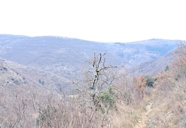
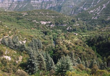
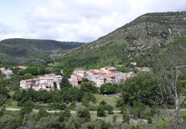
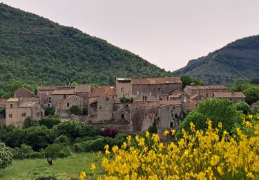
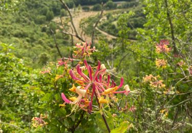
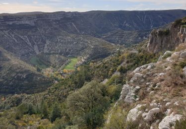
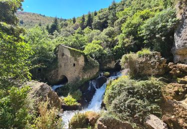
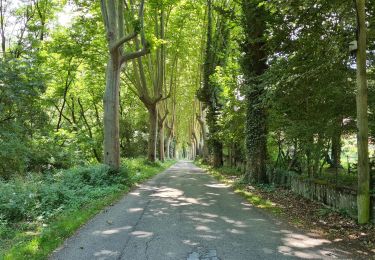
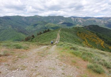
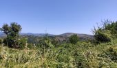
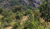
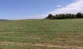
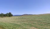
Nous étions partis pour faire la boucle proposée par CAMBON en 2014. Après 1,7 km, barrage. Le circuit est fini. Marche arrière toute, aucune issue. Dommage car la proposition était chouette : beau sentier, superbes paysages. In fine nous avons improvisé et fait une autre boucle très sympa et très facile.
Positioning
Country:
France
Region :
Occitania
Department/Province :
Gard
Municipality :
Campestre-et-Luc
Location:
Unknown
Start:(Dec)
Start:(UTM)
535600 ; 4864539 (31T) N.
Comments
Trails nearby
Randonnée Cirque de Navacelles - Causse de Blandas - Vissec - Moulin de la Foux
On foot
Medium
Blandas,
Occitania,
Gard,
France
19 km | 26 km-effort
6h 0min
Yes
Vissec / Moulin de la Foux
Walking
Medium
Blandas,
Occitania,
Gard,
France
12.9 km | 19.4 km-effort
3h 41min
Yes
Vissec à Navacelle
Walking
Difficult
Vissec,
Occitania,
Gard,
France
19.8 km | 28 km-effort
6h 29min
Yes
Cirque de navacelles
Walking
Difficult
Vissec,
Occitania,
Gard,
France
22 km | 32 km-effort
8h 3min
Yes
vissec-navacelles-vissec
Walking
Medium
(2)
Vissec,
Occitania,
Gard,
France
18.8 km | 26 km-effort
6h 37min
Yes
vers le St guiral puis le rocher de l'aigle
Walking
Difficult
(1)
Alzon,
Occitania,
Gard,
France
17.7 km | 29 km-effort
6h 51min
Yes