


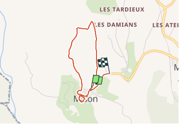

11 km | 17.2 km-effort


User


FREE GPS app for hiking
 SityTrail
IGN / Geographical institutes
SityTrail World
The world is yours!
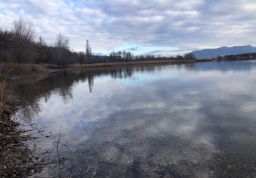
Trail Walking of 3.6 km to be discovered at Provence-Alpes-Côte d'Azur, Alpes-de-Haute-Provence, Mison. This trail is proposed by scalpy.
petit tour du. gâteau et des champs de lavande. Vues sur la vallée de la Durance et les sommets des Alpes au loin. magnifique et très facile
Walking
Walking
Walking
Walking
Walking

Walking
Walking
Walking

sport