


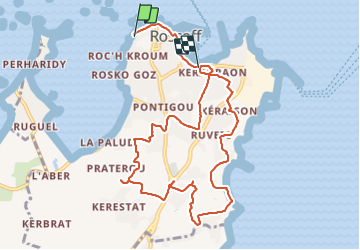

19.7 km | 22 km-effort


User


FREE GPS app for hiking
 SityTrail
IGN / Geographical institutes
SityTrail World
The world is yours!
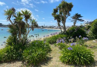
Trail Walking of 9.9 km to be discovered at Brittany, Finistère, Roscoff. This trail is proposed by gilsep.
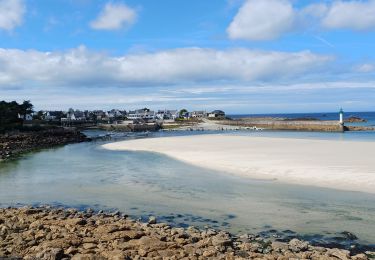
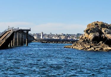
Promenade à la découverte des fontaines de Roscoff. Attention à bien observer, certaines ne se laissent pas observer facilement.
Balade entre ville et campagne.
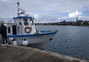
Départ au port
Walking
Walking
On foot
Walking
Walking

Walking

Walking
Walking