


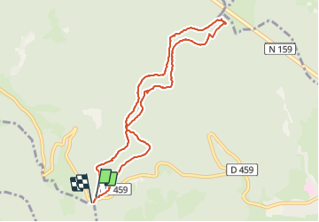


14.1 km | 21 km-effort

User


FREE GPS app for hiking
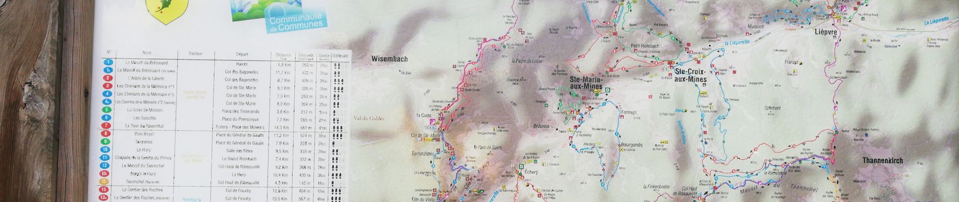
 SityTrail
IGN / Geographical institutes
SityTrail World
The world is yours!
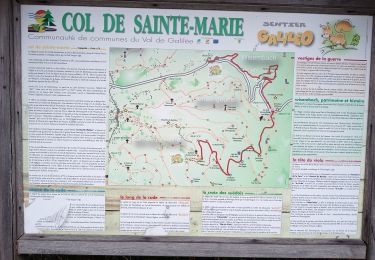
Trail Walking of 8.9 km to be discovered at Grand Est, Haut-Rhin, Sainte-Marie-aux-Mines. This trail is proposed by apa.
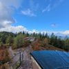
Panoramique


Walking

Walking

Horseback riding

Walking
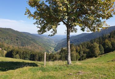
Walking
Walking
Nordic walking
Walking
Mountain bike