


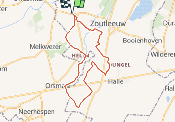

15.6 km | 16.5 km-effort


User


FREE GPS app for hiking
 SityTrail
IGN / Geographical institutes
SityTrail World
The world is yours!
Trail Walking of 14.9 km to be discovered at Flanders, Flemish Brabant, Zoutleeuw. This trail is proposed by Thierry0032.
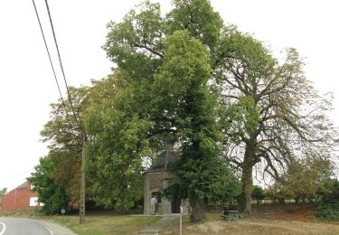
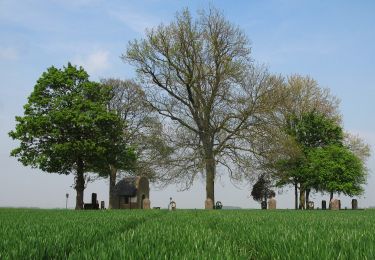
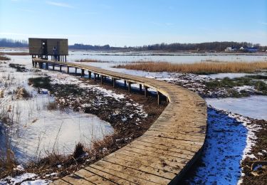
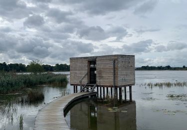
Promenade jusqu'au lieu de découverte d'un "chien" vivant il y a 56 millions d'années.
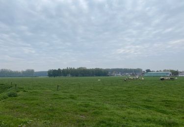
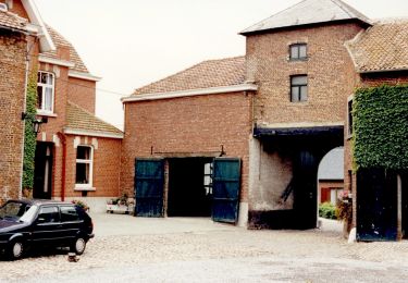
Il est possible de se garer facilement.
Au retour pour récompense, à 200 mètres, une glace artisanale chez "Omata", glace réalisée "comme avant". Délicieux.
Walking
On foot
On foot
On foot

Walking

Walking
Walking

Walking
Walking