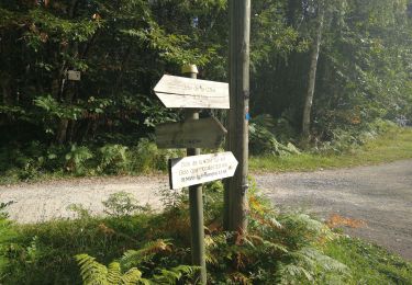
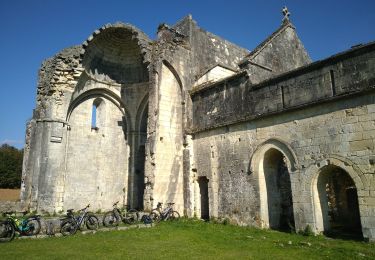
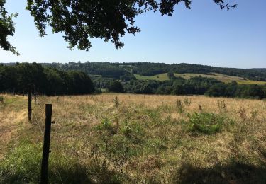
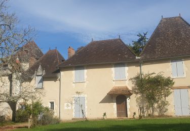
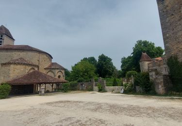
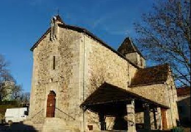
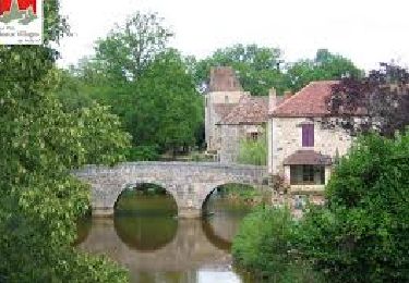
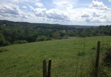
Trail Walking Saint-Martin-de-Fressengeas - St Martin de Fressengeas  - Photo
 Marc 24
Marc 24

User

© OpenStreetMap contributors
Length
Length
12.6 km
Max alt
Max alt
305 m
Uphill gradient
Uphill gradient
306 m
Km-Effort
Km-Effort  
16.7 km
Min alt
Min alt
189 m
Downhill gradient
Downhill gradient
303 m
Boucle
Boucle
Yes
Creation date :
2021-07-23 06:04:48.0
Updated on :
2021-07-30 17:08:18.211

(1 Reviews)

Walking
Walking
4h46
Difficulty : Medium

Scan this QR Code to open this trail in the SityTrail application

FREE GPS app for hiking

Logo SityTrail SityTrail

IGN / Geographical institutes

Download SityTrail from the App Store Download SityTrail from Google Play

Logo SityTrail SityTrail World

The world is yours!

Download SityTrail from the App Store Download SityTrail from Google Play Download SityTrail on Huawei AppGallery

About

Trail Walking of 12.6 km to be discovered at New Aquitaine, Dordogne, Saint-Martin-de-Fressengeas. This trail is proposed by Marc 24.

Description

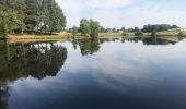
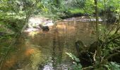
Boucle bleue locale « Amis des chemins » écourtée en prenant une courte portion du GR 654 après le lieu dit “Lâge”soit environ au total 12 km. Balisage bleu local excellent. Chemins et sentiers bien entretenus . Balade à faire par temps secs ( nombreuses zones humides). Beaux paysages en nature préservée.

Elevation profile

Photos

Positioning

Country:
France
Region :
New Aquitaine
Department/Province :
Dordogne
Municipality :
Saint-Martin-de-Fressengeas
Location:
Unknown
Start:(UTM)
331517 ; 5034363 (31T) N.

Comments

Please log in to post a review or rate the element


Merci, joli paysage et charmant village. Audier


Trails nearby

Trail Walking Saint-Jean-de-Côle - Saint-Jean de colle la côte 12 km - Photo
Walking
YV24

Walking

Easy
(1)
Saint-Jean-de-Côle, New Aquitaine, Dordogne, France
12 km | 14.4 km-effort
2h 51min
Yes
Trail Mountain bike Thiviers - Thiviers vtt - Photo
Mountain bike
nature360

Mountain bike

Very easy
Thiviers, New Aquitaine, Dordogne, France
48 km | 58 km-effort
6h 2min
Yes
Trail Walking Saint-Jean-de-Côle - Saint jean de Côle/St Martin - Photo
Walking
dorcier

Walking

Saint-Jean-de-Côle, New Aquitaine, Dordogne, France
12 km | 15.3 km-effort
3h 23min
Yes
Trail Running Saint-Jory-de-Chalais - beauduy2 - Photo
Running
thierryhidoine

Running

Medium
(1)
Saint-Jory-de-Chalais, New Aquitaine, Dordogne, France
8.2 km | 10.5 km-effort
1h 33min
Yes
Trail Walking Milhac-de-Nontron - Milhac de Nontron La Croze - Photo
Walking
swp648

Walking

Easy
Milhac-de-Nontron, New Aquitaine, Dordogne, France
14.6 km | 18.1 km-effort
3h 32min
No
Trail Walking Saint-Jean-de-Côle - St-Jean de Côle - St-Martin - Photo
Walking
beautrix

Walking

Medium
Saint-Jean-de-Côle, New Aquitaine, Dordogne, France
5.9 km | 7.3 km-effort
1h 29min
Yes
Trail Walking Milhac-de-Nontron - Boucle de Milhac de Nontron à Croze - Photo
Walking
CC.RIDER

Walking

Difficult
Milhac-de-Nontron, New Aquitaine, Dordogne, France
14.2 km | 17.8 km-effort
4h 2min
Yes
Trail Walking Saint-Jean-de-Côle - Saint Jean de Côle - Photo
Walking
CC.RIDER

Walking

Difficult
Saint-Jean-de-Côle, New Aquitaine, Dordogne, France
13 km | 15.6 km-effort
3h 32min
Yes
Trail Walking Saint-Jean-de-Côle - 24 Saint-Jean-de-Côle - Photo
Walking
Patxito

Walking

Easy
Saint-Jean-de-Côle, New Aquitaine, Dordogne, France
16.3 km | 20 km-effort
4h 21min
No


Close
My subscriptions