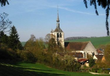
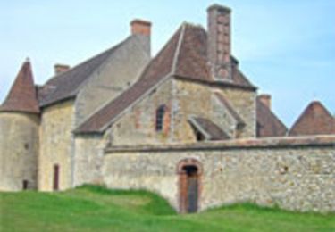
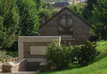
5.8 km | 7.9 km-effort
berulle sentier du fer
fred1258
User
Length
6.2 km
Max alt
238 m
Uphill gradient
156 m
Km-Effort
8.3 km
Min alt
146 m
Downhill gradient
157 m
Boucle
Yes
Creation date :
2021-07-21 12:26:14.547
Updated on :
2021-07-21 15:31:40.334
1h49
Difficulty : Medium
FREE GPS app for hiking
About
Trail Walking of 6.2 km to be discovered at Grand Est, Aube, Bérulle. This trail is proposed by fred1258.
Positioning
Country:
France
Region :
Grand Est
Department/Province :
Aube
Municipality :
Bérulle
Location:
Unknown
Start:(Dec)
Start:(UTM)
549290 ; 5336140 (31U) N.
Comments
Trails nearby
Randonnée Rigny le Ferron-Cérilly-Bois le roi
Electric bike
Difficult
Rigny-le-Ferron,
Grand Est,
Aube,
France
24 km | 31 km-effort
3h 39min
Yes
Bérulle Bérulle : Circuit de la Chapelle Sainte-Reine: Circuit de la Chapelle...
Walking
Medium
Bérulle,
Grand Est,
Aube,
France
13.2 km | 16.4 km-effort
4h 0min
Yes
Vaujurennes - Bérulle (Boucle) 2011
Walking
Easy
Paisy-Cosdon,
Grand Est,
Aube,
France
12.9 km | 15.2 km-effort
4h 0min
Yes
Circuit de Rigny le Ferron
Cycle
Easy
Rigny-le-Ferron,
Grand Est,
Aube,
France
28 km | 33 km-effort
1h 30min
Yes
Promenade des Sources - Rigny le Ferron
Walking
Difficult
Rigny-le-Ferron,
Grand Est,
Aube,
France
14.8 km | 19 km-effort
3h 45min
Yes
Circuit de la chapelle Sainte-Reine - Bérulle
Walking
Medium
(1)
Bérulle,
Grand Est,
Aube,
France
11 km | 14 km-effort
2h 45min
Yes
Randonnée du circuit du fer
Mountain bike
Medium
Bérulle,
Grand Est,
Aube,
France
16.6 km | 21 km-effort
30min
Yes