


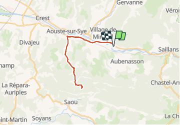

10.9 km | 16.8 km-effort


User GUIDE


FREE GPS app for hiking
 SityTrail
IGN / Geographical institutes
SityTrail World
The world is yours!
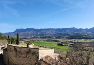
Trail Road bike of 26 km to be discovered at Auvergne-Rhône-Alpes, Drôme, Mirabel-et-Blacons. This trail is proposed by nadd73.
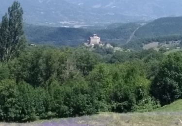
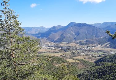
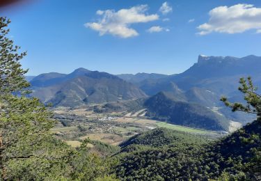
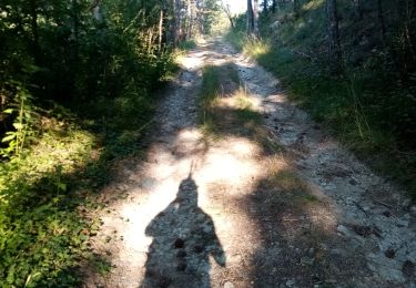
petite ballade vécu senteur de lavande et chant des cigales.


Walking

Walking

Walking
Walking
Walking
Walking
Walking
Walking

Walking