


stafafel Islande

jcclerc
User
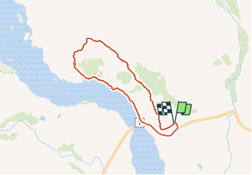

Length
16.6 km
Boucle
Yes
Creation date :
2021-07-18 15:07:06.06
Updated on :
2021-07-18 20:22:56.686
5h14
Difficulty : Medium

FREE GPS app for hiking
 SityTrail
IGN / Geographical institutes
SityTrail World
The world is yours!
About
Trail Walking of 16.6 km to be discovered at Unknown, Sveitarfélagið Hornafjörður. This trail is proposed by jcclerc.
Description
beau canyon en fin de montée.
retour peu intéressant par une route en graviers.
Positioning
Country:
Iceland
Region :
Unknown
Department/Province :
Sveitarfélagið Hornafjörður
Municipality :
Unknown
Location:
Unknown
Start:(Dec)
Start:(UTM)
507370 ; 7143968 (28W) N.
Comments
Trails nearby