


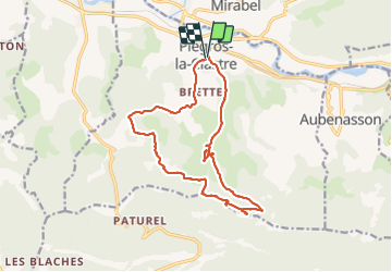

10.9 km | 16.8 km-effort


User GUIDE


FREE GPS app for hiking
 SityTrail
IGN / Geographical institutes
SityTrail World
The world is yours!
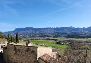
Trail Walking of 16.3 km to be discovered at Auvergne-Rhône-Alpes, Drôme, Piégros-la-Clastre. This trail is proposed by nadd73.
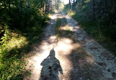
circuit long, je pensais que les "pas" étaient plus durs (escalade besoin de mettre les mains...) mais déçue une descente raide c'est tout 😕.
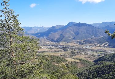
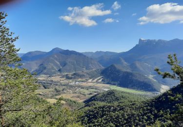
Heureusement que le château et la chapelle, la vue et les champs de lavande ont remontés la note.


Walking

Walking

Walking
Walking
Walking

Mountain bike
Walking
Walking

Walking