


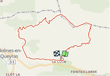

19.1 km | 36 km-effort


User


FREE GPS app for hiking
 SityTrail
IGN / Geographical institutes
SityTrail World
The world is yours!
Trail Walking of 11.8 km to be discovered at Provence-Alpes-Côte d'Azur, Hautes-Alpes, Molines-en-Queyras. This trail is proposed by jl77130.
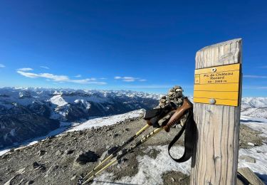
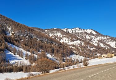
Superbe eando avec des vues splen du dies sur leww se massifs d’une Queyras et des Écrins. Attention montée et descente raides.

Walking

Walking

Walking

Snowshoes
Snowshoes

Walking

Other activity
Snowshoes
Walking