
Petit tour de Rochemave

Luca Bonnefille
User

Length
3.8 km

Max alt
875 m

Uphill gradient
85 m

Km-Effort
4.9 km

Min alt
791 m

Downhill gradient
80 m
Boucle
Yes
Creation date :
2021-07-17 12:58:40.0
Updated on :
2021-07-17 14:38:38.565
1h15
Difficulty : Easy

FREE GPS app for hiking
About
Trail Walking of 3.8 km to be discovered at Auvergne-Rhône-Alpes, Puy-de-Dôme, Cros. This trail is proposed by Luca Bonnefille.
Description
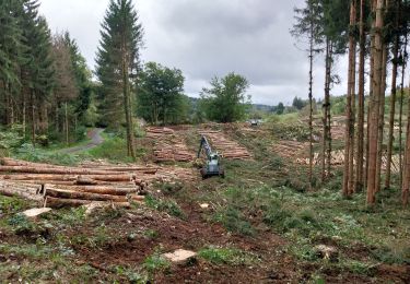
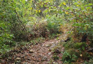
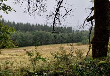
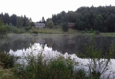
Petite marche dans un sous-bois, circuit court avec retour par la route.
Circuit long non-essayé mais sûrement plus sympa.
Positioning
Country:
France
Region :
Auvergne-Rhône-Alpes
Department/Province :
Puy-de-Dôme
Municipality :
Cros
Location:
Unknown
Start:(Dec)
Start:(UTM)
469451 ; 5035738 (31T) N.
Comments
Trails nearby

Le pont du diable, en p1rtant du gîte aux milles fleurs


Walking
Medium
(1)
Cros,
Auvergne-Rhône-Alpes,
Puy-de-Dôme,
France

9.4 km | 12.2 km-effort
2h 18min
Yes

Pont du diable 3


Walking
Difficult
Cros,
Auvergne-Rhône-Alpes,
Puy-de-Dôme,
France

9.5 km | 12.4 km-effort
2h 10min
Yes

Promenade du gite des milles fleurs, au fil de l'eau.


Walking
Easy
Cros,
Auvergne-Rhône-Alpes,
Puy-de-Dôme,
France

3.7 km | 5 km-effort
1h 24min
Yes

Le Bois de Rochemave


On foot
Easy
Cros,
Auvergne-Rhône-Alpes,
Puy-de-Dôme,
France

5.6 km | 7.5 km-effort
1h 41min
Yes

Ponchet


On foot
Easy
Bagnols,
Auvergne-Rhône-Alpes,
Puy-de-Dôme,
France

8.3 km | 10.7 km-effort
2h 26min
Yes

Le Chemin de la Reine Margot


On foot
Easy
Bagnols,
Auvergne-Rhône-Alpes,
Puy-de-Dôme,
France

10.1 km | 12.5 km-effort
2h 50min
No

esparzeloux


Walking
Very easy
Lanobre,
Auvergne-Rhône-Alpes,
Cantal,
France

7.8 km | 10.7 km-effort
2h 2min
Yes

le tour du lac de Bort Les Orgues


Mountain bike
Medium
Lanobre,
Auvergne-Rhône-Alpes,
Cantal,
France

68 km | 89 km-effort
4h 56min
Yes

Lanobre-lac de Crégut-lac de Lastioulles


Mountain bike
Easy
Lanobre,
Auvergne-Rhône-Alpes,
Cantal,
France

52 km | 67 km-effort
4h 16min
Yes


 SityTrail


