


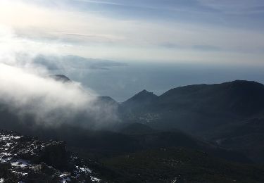
33 km | 56 km-effort


User


FREE GPS app for hiking
 SityTrail
IGN / Geographical institutes
SityTrail World
The world is yours!
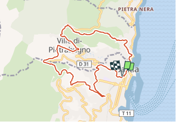
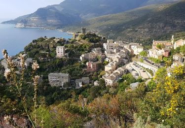
Trail Running of 10.9 km to be discovered at Corsica, Haute-Corse, Bastia. This trail is proposed by casadebastia.
départ du centre ville, bd Graziani, prendre la route de ville, jusqu'au Leclerc, prendre le fango, puis au rond point "de St florent" prendre l'ancienne route de ville jusque Alzetu, et redescendre en ville par le sentier du patrimoine.
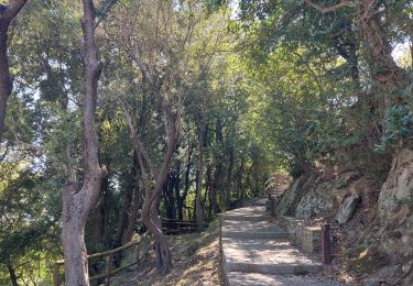
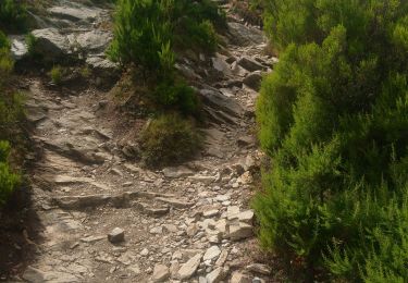
Une partie en courant, l'autre en marche rapide

Other activity

Walking

Walking
Trail

Walking
Other activity
Walking