


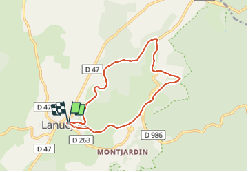

16.3 km | 24 km-effort

User


FREE GPS app for hiking
 SityTrail
IGN / Geographical institutes
SityTrail World
The world is yours!
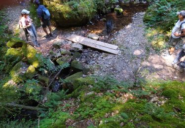
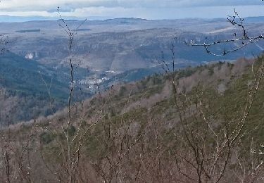
Trail Walking of 7.4 km to be discovered at Occitania, Gard, Lanuéjols. This trail is proposed by LBarel.
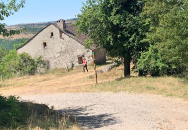
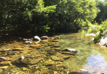
Une petite balade de 2h en boucle qui part de la mairie de Lanuéjols pour rejoindre le pont de Claparousse. Un large sentier au coeur d'une superbe nature nous y conduit. Ensuite 2 courts tronçons de départementale, entrecoupés d'une montée/descente dans les sous-bois (riches en fraises des bois...), nous offrent de superbes paysages. Enfin la descente vers Lanuéjols où il faut impérativement suivre le GR.


On foot
Walking
Walking

Walking
Walking

Equestrian
Horseback riding
Horseback riding