


19.2 km | 27 km-effort

User


FREE GPS app for hiking
 SityTrail
IGN / Geographical institutes
SityTrail World
The world is yours!
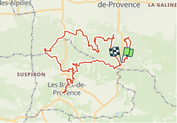
Trail Walking of 29 km to be discovered at Provence-Alpes-Côte d'Azur, Bouches-du-Rhône, Saint-Rémy-de-Provence. This trail is proposed by Fab-Oz.
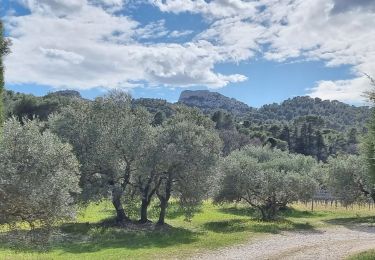
Au départ du Parking de la Caume
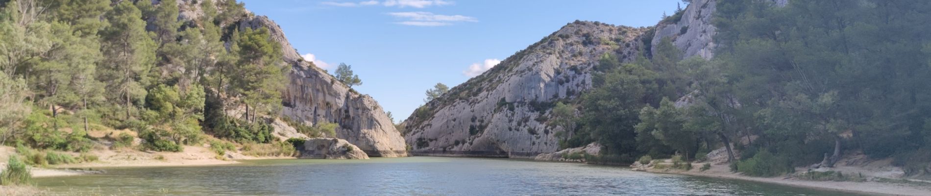
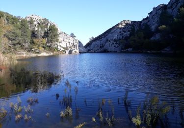
Descente vers le lac de Peiroou en suivant le GR6, puis La Verdière, Les Cadenières, pour rejoindre le GR653 et le GR6.
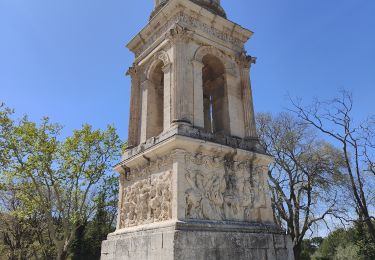
Descendre par le petit sentier jusqu'au Carrières de Lumière.
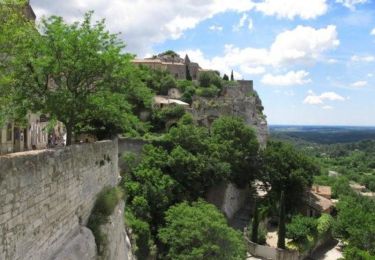
Petit tour pour visiter le charmant village des Baux de Provence
Retour jusqu'au parking en suivant le GR6
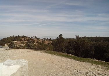
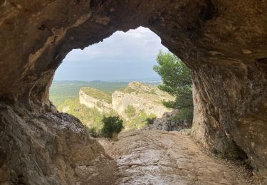
Pour terminer, petit tour au Mont Gaussier par le sentier des échelles.
Rando difficile surtout par la distance et la dernière boucle au Mont Gaussier. Pour le reste, pas de grosses difficultés, rando très sympathique.


Walking
Walking

Walking
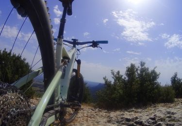
Mountain bike
Walking

Walking
Walking
Walking
Mountain bike