15.3 km | 21 km-effort
les crêtes
Vedett26
User
Length
15 km
Max alt
453 m
Uphill gradient
405 m
Km-Effort
20 km
Min alt
267 m
Downhill gradient
403 m
Boucle
Yes
Creation date :
2021-07-15 07:03:06.026
Updated on :
2021-07-15 09:20:13.391
2h14
Difficulty : Medium
FREE GPS app for hiking
About
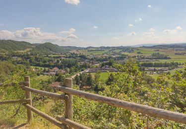
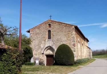
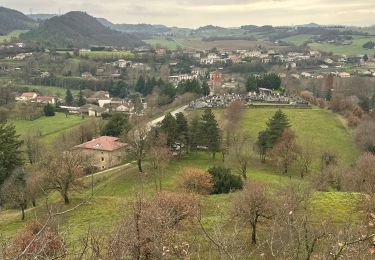
Trail Mountain bike of 15 km to be discovered at Auvergne-Rhône-Alpes, Drôme, Saint-Avit. This trail is proposed by Vedett26.
Positioning
Country:
France
Region :
Auvergne-Rhône-Alpes
Department/Province :
Drôme
Municipality :
Saint-Avit
Location:
Unknown
Start:(Dec)
Start:(UTM)
654655 ; 5006703 (31T) N.
Comments
Trails nearby
Marche hunchigton claveyson
sport
Very easy
Claveyson,
Auvergne-Rhône-Alpes,
Drôme,
France
Unknown
Yes
Le bois de Suze
Walking
Very easy
(1)
Claveyson,
Auvergne-Rhône-Alpes,
Drôme,
France
3.6 km | 5.3 km-effort
1h 9min
Yes
Le tour de Châteauneuf de Galaure
Walking
Easy
(1)
Châteauneuf-de-Galaure,
Auvergne-Rhône-Alpes,
Drôme,
France
5.2 km | 5.7 km-effort
1h 10min
Yes
26 chapelle st Roche montchenu
Walking
Easy
Montchenu,
Auvergne-Rhône-Alpes,
Drôme,
France
12.6 km | 17.3 km-effort
3h 18min
No
montchenu poulet 13 km
Walking
Very easy
(1)
Montchenu,
Auvergne-Rhône-Alpes,
Drôme,
France
12 km | 15.1 km-effort
3h 22min
Yes
Prieure de Saint Andeol
Walking
Medium
Claveyson,
Auvergne-Rhône-Alpes,
Drôme,
France
8.3 km | 11.9 km-effort
2h 47min
Yes
26 montchenu barthernay
Walking
Easy
Bathernay,
Auvergne-Rhône-Alpes,
Drôme,
France
8.8 km | 11.9 km-effort
2h 1min
No
26 montchenu
Road bike
Medium
Montchenu,
Auvergne-Rhône-Alpes,
Drôme,
France
55 km | 66 km-effort
3h 36min
Yes
VELO vae 27 kms + 515 m
Electric bike
Very easy
(1)
Montchenu,
Auvergne-Rhône-Alpes,
Drôme,
France
27 km | 34 km-effort
Unknown
Yes