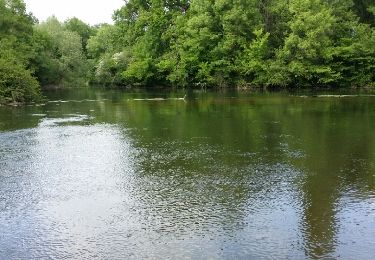
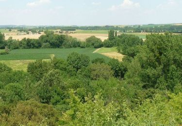
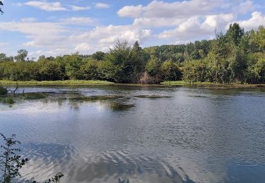
7.7 km | 9.7 km-effort
2021-07-12_13h38m02_UmpSbAli90UfACzh8d3-Xw
xaliad
User
Length
13.3 km
Max alt
99 m
Uphill gradient
150 m
Km-Effort
15.3 km
Min alt
30 m
Downhill gradient
149 m
Boucle
Yes
Creation date :
2021-07-12 11:38:02.817
Updated on :
2021-07-12 11:38:03.985
FREE GPS app for hiking
About
Trail of 13.3 km to be discovered at New Aquitaine, Charente, Balzac. This trail is proposed by xaliad.
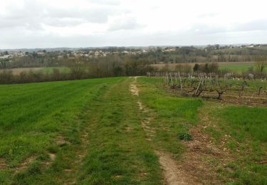
Positioning
Country:
France
Region :
New Aquitaine
Department/Province :
Charente
Municipality :
Balzac
Location:
Unknown
Start:(Dec)
Start:(UTM)
277995 ; 5067608 (31T) N.
Comments
Trails nearby
La randonnée sandwich entre la LGV et la RN10
Walking
Very easy
Champniers,
New Aquitaine,
Charente,
France
2h 25min
Yes
Le circuit de la fontaine de Tonne
Walking
Easy
Marsac,
New Aquitaine,
Charente,
France
9.2 km | 11.6 km-effort
2h 36min
Yes
La Chignolle 50 - Champniers
Mountain bike
Difficult
Champniers,
New Aquitaine,
Charente,
France
50 km | 61 km-effort
3h 0min
Yes
St iriex
Walking
Medium
Saint-Yrieix-sur-Charente,
New Aquitaine,
Charente,
France
10.2 km | 11.7 km-effort
2h 31min
Yes
vindelle
Walking
Medium
Vindelle,
New Aquitaine,
Charente,
France
10.5 km | 11.7 km-effort
2h 27min
Yes
champniers
Other activity
Very easy
Champniers,
New Aquitaine,
Charente,
France
21 km | 26 km-effort
Unknown
Yes
venat
Walking
Medium
Saint-Yrieix-sur-Charente,
New Aquitaine,
Charente,
France
8.1 km | 9.6 km-effort
1h 50min
Yes
St yriex0210
Walking
Easy
Saint-Yrieix-sur-Charente,
New Aquitaine,
Charente,
France
5.4 km | 5.9 km-effort
1h 22min
Yes
stYriex2706
Walking
Medium
Saint-Yrieix-sur-Charente,
New Aquitaine,
Charente,
France
6.8 km | 7.8 km-effort
2h 41min
Yes