


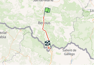

12.7 km | 17.3 km-effort


User


FREE GPS app for hiking
 SityTrail
IGN / Geographical institutes
SityTrail World
The world is yours!
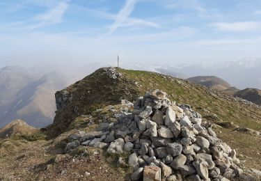
Trail Bicycle tourism of 37 km to be discovered at New Aquitaine, Pyrénées-Atlantiques, Sarrance. This trail is proposed by Piper.Classique.
It never gets very steep, but it does go up all the way from Urdos. The waymarked path is definitely not suitable for bikes. The road is not suitable for walkers. There is a bus.
On foot
On foot
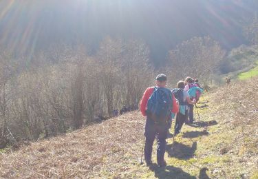
Walking

On foot
On foot
Walking

Trail
Walking

Walking