


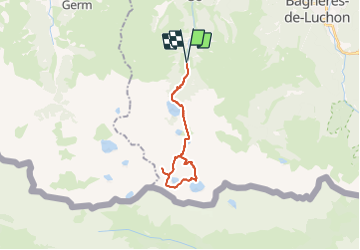


9.9 km | 18.4 km-effort

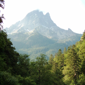
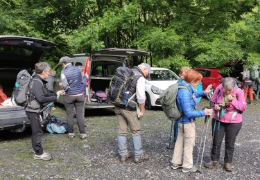
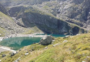
On marche, on grimpe, on boit et enfin on dort dehors !


FREE GPS app for hiking
 SityTrail
IGN / Geographical institutes
SityTrail World
The world is yours!
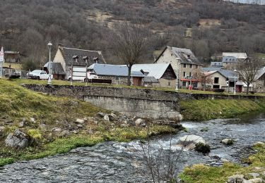
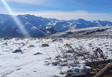
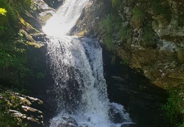
Trail Walking of 24 km to be discovered at Occitania, Haute-Garonne, Oô. This trail is proposed by Rando Apero Dodo.

Walking

Walking
Walking

On foot

Walking
Walking
Walking
Walking
Walking