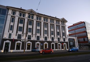
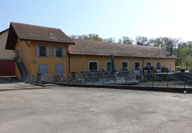
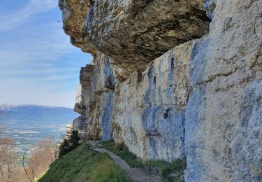
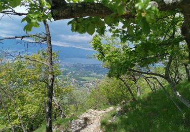
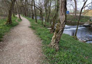
Trail Walking Lancy - Le Chemin des Passrelles de Lancy - Photo

Le Chemin des Passrelles de Lancy

© OpenStreetMap contributors
Length
Length
9 km
Max alt
Max alt
428 m
Uphill gradient
Uphill gradient
161 m
Km-Effort
Km-Effort  
11.2 km
Min alt
Min alt
383 m
Downhill gradient
Downhill gradient
156 m
Boucle
Boucle
Yes
Creation date :
2014-12-11 00:00:00.0
Updated on :
2014-12-11 00:00:00.0

(0 Reviews)

Walking
Walking
2h30
Difficulty : Easy

Scan this QR Code to open this trail in the SityTrail application

FREE GPS app for hiking

Logo SityTrail SityTrail

IGN / Geographical institutes

Download SityTrail from the App Store Download SityTrail from Google Play

Logo SityTrail SityTrail World

The world is yours!

Download SityTrail from the App Store Download SityTrail from Google Play Download SityTrail on Huawei AppGallery

About

Trail Walking of 9 km to be discovered at Geneva, Unknown, Lancy. This trail is proposed by tonymeyer.

Description

Durée de marche: env. 2 heures, puis un total de 30 minutes d''arrêt pour le picnic etc..

Elevation profile

Positioning

Country:
Switzerland
Region :
Geneva
Department/Province :
Unknown
Municipality :
Lancy
Location:
Unknown
Start:(UTM)
277970 ; 5118135 (32T) N.

Trails nearby

Trail On foot Carouge (GE) - De Staël - Place Verte - Photo
On foot
GUIDE+

On foot

Easy
Carouge (GE), Geneva, Unknown, Switzerland
3.3 km | 3.8 km-effort
51min
No
Trail On foot Veyrier - Eaux d'Arve - Pinchat - Photo
On foot
GUIDE+

On foot

Easy
Veyrier, Geneva, Unknown, Switzerland
3.1 km | 3.7 km-effort
49min
No
Trail Walking Collonges-sous-Salève - Le Coin-Grottes d'Orjobet-La Corraterie-Grande Gorge-Le Coin - Photo
Walking
GUIDE
Kargil

Walking

Difficult
Collonges-sous-Salève, Auvergne-Rhône-Alpes, Upper Savoy, France
8.8 km | 18.8 km-effort
4h 0min
Yes
Trail Walking Collonges-sous-Salève - Mont Salève, la grande gorge - Photo
Walking
perenhout

Walking

Medium
Collonges-sous-Salève, Auvergne-Rhône-Alpes, Upper Savoy, France
8.1 km | 17.5 km-effort
3h 23min
Yes
Trail Walking Saint-Julien-en-Genevois - Le long de l'Aire (Départ Thairy) - Photo
Walking
Petitchaperonvert

Walking

Easy
Saint-Julien-en-Genevois, Auvergne-Rhône-Alpes, Upper Savoy, France
14.6 km | 16.4 km-effort
3h 6min
Yes
Trail Walking Bernex - Helsana Trail Rhone - Photo
Walking
Cheetah200923

Walking

Very easy
(1)
Bernex, Geneva, Unknown, Switzerland
6.6 km | 8 km-effort
2h 1min
No
Trail Cycle Geneva - Via Rhôna - Genève - Pont St Esprit  - Photo
Cycle
tracegps

Cycle

Difficult
Geneva, Geneva, Unknown, Switzerland
463 km | 518 km-effort
42h 0min
No
Trail Mountain bike Geneva - Via Rhôna - Genève - Pont St Esprit  - Photo
Mountain bike
tracegps

Mountain bike

Difficult
Geneva, Geneva, Unknown, Switzerland
463 km | 518 km-effort
42h 0min
No
Trail Walking Vernier - bord du Rhône lignon - Photo
Walking
gfridez

Walking

Very easy
(1)
Vernier, Geneva, Unknown, Switzerland
6.1 km | 7.9 km-effort
Unknown
Yes


Close
My subscriptions