


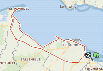

10.4 km | 12.2 km-effort


User


FREE GPS app for hiking
 SityTrail
IGN / Geographical institutes
SityTrail World
The world is yours!
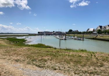
Trail On foot of 23 km to be discovered at Hauts-de-France, Somme, Boismont. This trail is proposed by GerardBouche.
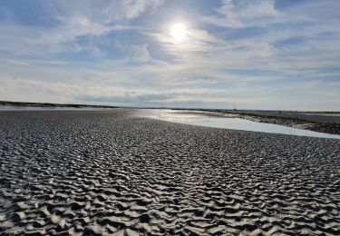
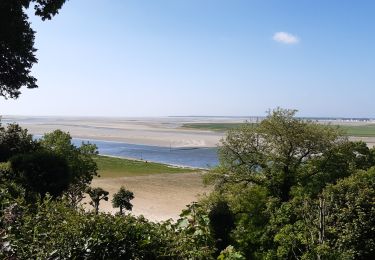
Depuis St -Valery, par le Quai Jeanne d'Arc jusqu'au Cap Hornu. A partir de là, emprunter un petit sentier longeant les "mollières " de la Baie jusqu'à la Pointe du Hourdel ... à marée basse, il est possible d'y observer les phoques !)
Le retour par la piste cyclable de la Baie..


Walking
Walking

Walking
Walking

Walking

Mountain bike
Cycle
Walking
Walking