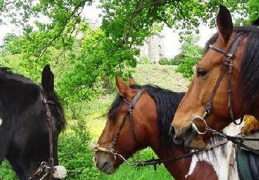
8.2 km | 9.5 km-effort
vallée du Couesnon 8km
guillaume11
User
Length
7.7 km
Max alt
98 m
Uphill gradient
170 m
Km-Effort
10 km
Min alt
41 m
Downhill gradient
178 m
Boucle
Yes
Creation date :
2021-07-08 08:04:10.783
Updated on :
2021-07-08 09:45:20.799
1h39
Difficulty : Medium
FREE GPS app for hiking
About
Trail Walking of 7.7 km to be discovered at Brittany, Ille-et-Vilaine, Mézières-sur-Couesnon. This trail is proposed by guillaume11.
Positioning
Country:
France
Region :
Brittany
Department/Province :
Ille-et-Vilaine
Municipality :
Mézières-sur-Couesnon
Location:
Unknown
Start:(Dec)
Start:(UTM)
616335 ; 5352163 (30U) N.
Comments
Trails nearby
La lande de la rencontre
On foot
Easy
Saint-Aubin-du-Cormier,
Brittany,
Ille-et-Vilaine,
France
2h 9min
Yes
Le Pays Audonien
On foot
Easy
Saint-Ouen-des-Alleux,
Brittany,
Ille-et-Vilaine,
France
12 km | 13.7 km-effort
3h 6min
Yes
Le couesnon
Walking
Easy
(1)
Saint-Ouen-des-Alleux,
Brittany,
Ille-et-Vilaine,
France
7.3 km | 9.1 km-effort
2h 0min
Yes
Au fil de l'eau - Mézières sur Couesnon
Equestrian
Very difficult
Mézières-sur-Couesnon,
Brittany,
Ille-et-Vilaine,
France
71 km | 83 km-effort
8h 0min
No
Sur le sentier des Picaous - Saint Christophe de Valains
Walking
Easy
Saint-Christophe-de-Valains,
Brittany,
Ille-et-Vilaine,
France
4.9 km | 5.6 km-effort
1h 15min
Yes
11.01.2018 - ST AUBIN DU CORMIER
Walking
Medium
Saint-Aubin-du-Cormier,
Brittany,
Ille-et-Vilaine,
France
24 km | 27 km-effort
8h 13min
No
Mézières sur Couesnon à Ville Morin - Equibreizh
Equestrian
Very difficult
Mézières-sur-Couesnon,
Brittany,
Ille-et-Vilaine,
France
41 km | 46 km-effort
4h 0min
No
La Ville Olivier - Tremblay - Equibreizh
Equestrian
Difficult
(1)
Mézières-sur-Couesnon,
Brittany,
Ille-et-Vilaine,
France
28 km | 33 km-effort
3h 0min
No
St-Christophe de Valains Variante Sentier des Picaous
Walking
Difficult
Saint-Christophe-de-Valains,
Brittany,
Ille-et-Vilaine,
France
13.8 km | 16.3 km-effort
3h 42min
Yes